EPW054893 ENGLAND (1937). Gibbons Street and environs, Plymouth, 1937

© Copyright OpenStreetMap contributors and licensed by the OpenStreetMap Foundation. 2024. Cartography is licensed as CC BY-SA.
Nearby Images (7)
EPW054893

EPW011268
, Plymouth, 1924. This image has been produced from a copy-negative")
EPW054899

EPW011257

EPW054886

EPW054895

EPW054894

Details
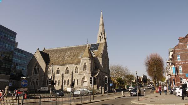
| Title | [EPW054893] Gibbons Street and environs, Plymouth, 1937 |
| Reference | EPW054893 |
| Date | 16-August-1937 |
| Link | |
| Place name | PLYMOUTH |
| Parish | |
| District | |
| Country | ENGLAND |
| Easting / Northing | 248218, 54883 |
| Longitude / Latitude | -4.1347598335621, 50.373626218827 |
| National Grid Reference | SX482549 |
Pins
 Webrarian |
Thursday 26th of May 2016 09:38:45 AM | |
 Class31 |
Thursday 16th of April 2015 07:30:45 PM | |
Class31 |
Thursday 16th of April 2015 07:27:50 PM | |
Class31 |
Thursday 16th of April 2015 07:23:24 PM | |
Class31 |
Thursday 16th of April 2015 07:19:16 PM | |
Class31 |
Thursday 16th of April 2015 07:17:50 PM | |
Class31 |
Thursday 16th of April 2015 07:17:08 PM | |
Class31 |
Thursday 16th of April 2015 07:16:07 PM |