
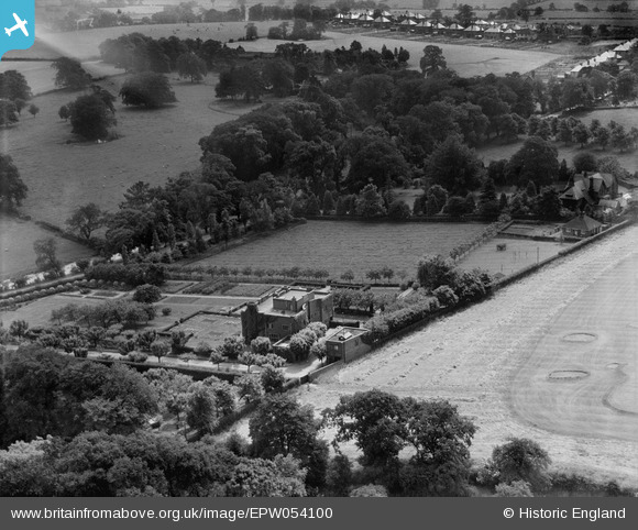
EPW054100 ENGLAND (1937). Upmeads and environs, Stafford, 1937
© Copyright OpenStreetMap contributors and licensed by the OpenStreetMap Foundation. 2024. Cartography is licensed as CC BY-SA.
Nearby Images (8)
EPW054100

EPW054103

EPW054105

EPW054104

EPW054102

EPW054106

EPW054101

EPW054099

Details
| Title | [EPW054100] Upmeads and environs, Stafford, 1937 |
| Reference | EPW054100 |
| Date | 7-July-1937 |
| Link | |
| Place name | STAFFORD |
| Parish | |
| District | |
| Country | ENGLAND |
| Easting / Northing | 390908, 322275 |
| Longitude / Latitude | -2.1348616561521, 52.79762798341 |
| National Grid Reference | SJ909223 |
Pins
Be the first to add a comment to this image!


