
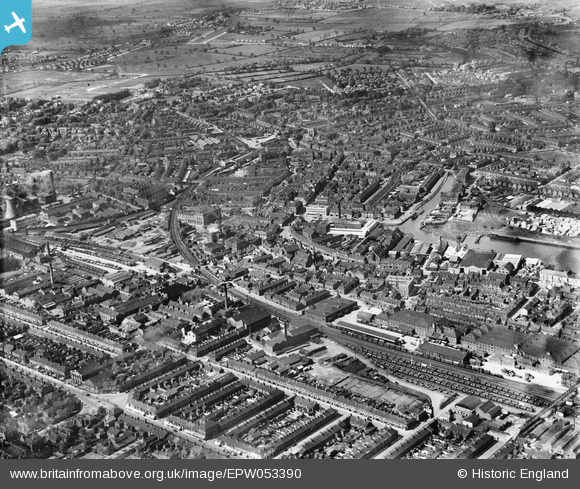
EPW053390 ENGLAND (1937). The London and North Eastern Railway Line and the West Marsh area, Grimsby, from the north-east, 1937
© Copyright OpenStreetMap contributors and licensed by the OpenStreetMap Foundation. 2024. Cartography is licensed as CC BY-SA.
Nearby Images (2)
EPW053390

EAW029026

Details
| Title | [EPW053390] The London and North Eastern Railway Line and the West Marsh area, Grimsby, from the north-east, 1937 |
| Reference | EPW053390 |
| Date | 31-May-1937 |
| Link | |
| Place name | GRIMSBY |
| Parish | |
| District | |
| Country | ENGLAND |
| Easting / Northing | 527369, 409633 |
| Longitude / Latitude | -0.076489117056566, 53.567581483467 |
| National Grid Reference | TA274096 |
Pins


User Comment Contributions
 Town Hall, Grimsby, 29/08/2014 |
 Class31 |
Sunday 9th of November 2014 11:28:03 AM |


