
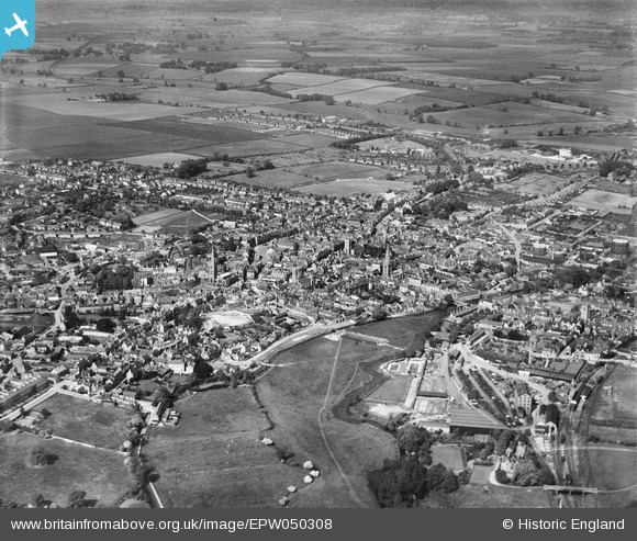
EPW050308 ENGLAND (1936). The town and surrounding countryside, Stamford, 1936
© Copyright OpenStreetMap contributors and licensed by the OpenStreetMap Foundation. 2024. Cartography is licensed as CC BY-SA.
Nearby Images (14)
EPW050308

EPW054985

EAW013391

EAW033044

EAW043861

EAW033042

EAW043863

EAW033043

EAW043859

EPW054982

EAW033041

EAW043862

EAW013392

EAW043860

Details
| Title | [EPW050308] The town and surrounding countryside, Stamford, 1936 |
| Reference | EPW050308 |
| Date | May-1936 |
| Link | |
| Place name | STAMFORD |
| Parish | STAMFORD |
| District | |
| Country | ENGLAND |
| Easting / Northing | 503018, 307163 |
| Longitude / Latitude | -0.47696707007181, 52.652051047362 |
| National Grid Reference | TF030072 |
Pins
 Syd |
Wednesday 12th of November 2014 02:09:50 PM | |
diag |
Saturday 26th of July 2014 08:31:03 PM | |
diag |
Tuesday 24th of September 2013 06:59:31 PM | |
diag |
Tuesday 24th of September 2013 06:58:26 PM | |
diag |
Tuesday 24th of September 2013 06:54:10 PM | |
diag |
Tuesday 24th of September 2013 06:51:35 PM | |
diag |
Tuesday 24th of September 2013 06:49:18 PM | |
diag |
Tuesday 24th of September 2013 06:47:34 PM | |
Known as Stamford Town station until after the closure of the GN/LNER Stamford East terminus in 1957. |
John W |
Tuesday 28th of June 2016 05:22:57 PM |
diag |
Sunday 1st of September 2013 04:54:05 PM | |
diag |
Sunday 1st of September 2013 04:53:04 PM | |
diag |
Sunday 1st of September 2013 04:51:59 PM | |
diag |
Sunday 1st of September 2013 04:51:02 PM | |
diag |
Sunday 1st of September 2013 04:48:34 PM |


