
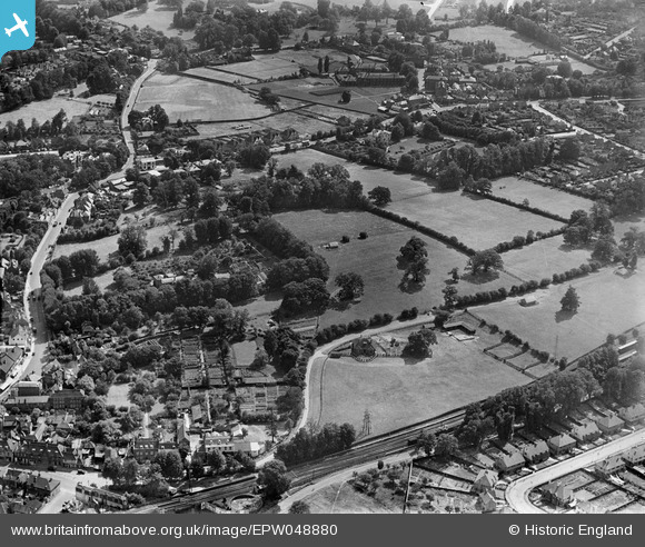
EPW048880 ENGLAND (1935). Fields to the west of the town, Epsom, 1935
© Copyright OpenStreetMap contributors and licensed by the OpenStreetMap Foundation. 2024. Cartography is licensed as CC BY-SA.
Nearby Images (11)
EPW048880

EPW048883

EPW048889

EPW048886

EPW048888
, and adjacent fields, Epsom, 1935")
EPW048890

EPW048885

EPW048884

EPW048882
, Dudley Grove and environs, Epsom, 1935")
EPW048881
, Dorking Road and environs, Epsom, 1935")
EPW048887
, Dorking Road and environs, Epsom, 1935")
Details
| Title | [EPW048880] Fields to the west of the town, Epsom, 1935 |
| Reference | EPW048880 |
| Date | August-1935 |
| Link | |
| Place name | EPSOM |
| Parish | |
| District | |
| Country | ENGLAND |
| Easting / Northing | 520413, 160466 |
| Longitude / Latitude | -0.27145920080544, 51.33002262392 |
| National Grid Reference | TQ204605 |
Pins
 Sinead |
Saturday 11th of November 2017 12:53:28 AM | |
JimmyBrandon |
Sunday 25th of September 2016 04:39:14 PM | |
JimmyBrandon |
Sunday 25th of September 2016 04:39:09 PM | |
David960 |
Friday 13th of February 2015 06:12:56 PM | |
David960 |
Friday 13th of February 2015 06:12:19 PM | |
David960 |
Friday 13th of February 2015 06:11:32 PM |


