
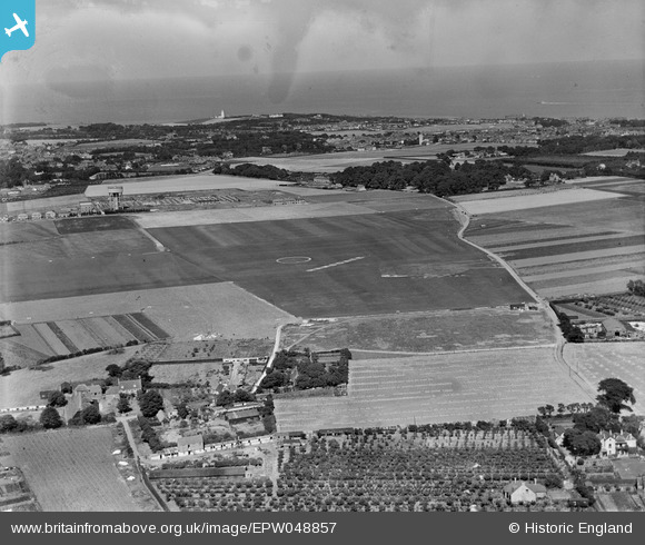
EPW048857 ENGLAND (1935). Ramsgate Airport and environs, Ramsgate, from the south-west, 1935
© Copyright OpenStreetMap contributors and licensed by the OpenStreetMap Foundation. 2024. Cartography is licensed as CC BY-SA.
Nearby Images (5)
EPW048857

EPW053975
 and a BAC Drone (G-AEEN) outside the Ramsgate Aerodrome Pavilion, Northwood, from the north-east, 1937")
EPW053974
 and a BAC Drone (G-AEEN) outside the Ramsgate Aerodrome Pavilion, Northwood, from the north-east, 1937")
EPW052881

EPW043762

Details
| Title | [EPW048857] Ramsgate Airport and environs, Ramsgate, from the south-west, 1935 |
| Reference | EPW048857 |
| Date | August-1935 |
| Link | |
| Place name | RAMSGATE |
| Parish | RAMSGATE |
| District | |
| Country | ENGLAND |
| Easting / Northing | 637292, 167097 |
| Longitude / Latitude | 1.4083686491208, 51.352811457385 |
| National Grid Reference | TR373671 |


