
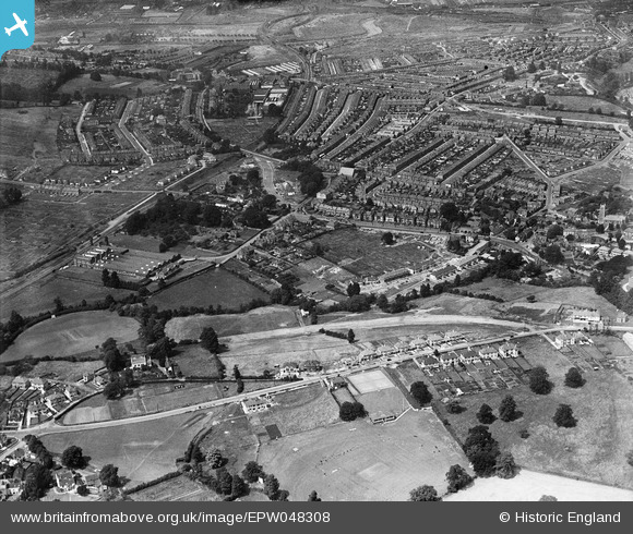
EPW048308 ENGLAND (1935). The Robertsons Preserve Works and the residential area surrounding Bristol Hill, Brislington, 1935
© Copyright OpenStreetMap contributors and licensed by the OpenStreetMap Foundation. 2024. Cartography is licensed as CC BY-SA.
Nearby Images (7)
EPW048308

EPW048309

EAW045825

EPW007316

EPW007315

EAW045828

EAW045827

Details
| Title | [EPW048308] The Robertsons Preserve Works and the residential area surrounding Bristol Hill, Brislington, 1935 |
| Reference | EPW048308 |
| Date | July-1935 |
| Link | |
| Place name | BRISLINGTON |
| Parish | |
| District | |
| Country | ENGLAND |
| Easting / Northing | 361785, 170610 |
| Longitude / Latitude | -2.5497928102153, 51.432709838196 |
| National Grid Reference | ST618706 |
Pins
 Charles Dale |
Friday 26th of June 2015 10:09:21 PM | |
Charles Dale |
Friday 26th of June 2015 10:08:05 PM | |
Charles Dale |
Friday 26th of June 2015 10:07:32 PM | |
Geoff |
Wednesday 30th of July 2014 05:10:48 PM | |
kent2 |
Saturday 20th of July 2013 07:38:17 AM | |
Braikenridge |
Sunday 5th of May 2013 01:43:03 PM | |
Built 1873. Closed to Passengers 1959. Demolished 1997 |
Braikenridge |
Sunday 5th of May 2013 01:44:34 PM |


