
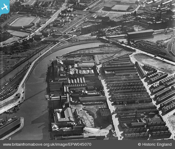
EPW045070 ENGLAND (1934). Industrial works alongside the Manchester Ship Canal, Ordsall, 1934
© Copyright OpenStreetMap contributors and licensed by the OpenStreetMap Foundation. 2024. Cartography is licensed as CC BY-SA.
Nearby Images (24)
EPW045070

EPW045065

EPW045069

EPW045992

EPW045066

EPW045071

EPW045067

EPW016773

EPW016772

EPW016777

EPW016774

EPW016775

EPW016771

EPW045068

EPW016770

EPW016776

EPW045983

EPW008985

EAW050415

EPW008988

EPW008989

EPW008990

EPW008991

EPW008987

Details
| Title | [EPW045070] Industrial works alongside the Manchester Ship Canal, Ordsall, 1934 |
| Reference | EPW045070 |
| Date | June-1934 |
| Link | |
| Place name | ORDSALL |
| Parish | |
| District | |
| Country | ENGLAND |
| Easting / Northing | 381485, 396671 |
| Longitude / Latitude | -2.2789295034838, 53.466200432084 |
| National Grid Reference | SJ815967 |


