
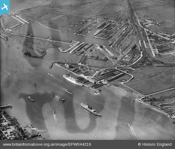
EPW044219 ENGLAND (1934). Tilbury Docks, Tilbury, 1934
© Copyright OpenStreetMap contributors and licensed by the OpenStreetMap Foundation. 2024. Cartography is licensed as CC BY-SA.
Nearby Images (19)
EPW044219

EPW044226

EPW024911

EPW032065
 railway station and environs, Tilbury, 1930")
EPW044225

EAW014598

EPW044223

EAW014601

EAW014599

EPW032063
 railway station and environs, Tilbury, 1930")
EAW014600

EPW044224

EAW034858

EAW034857

EPW032061
 railway station and environs, Tilbury, 1930")
EPW044227

EAW028721

EPW032062
 railway station and environs, Tilbury, from the south, 1930")
EPW044216

Details
| Title | [EPW044219] Tilbury Docks, Tilbury, 1934 |
| Reference | EPW044219 |
| Date | May-1934 |
| Link | |
| Place name | TILBURY |
| Parish | |
| District | |
| Country | ENGLAND |
| Easting / Northing | 564192, 175208 |
| Longitude / Latitude | 0.36331481980539, 51.451525538333 |
| National Grid Reference | TQ642752 |
Pins
 Billy Turner |
Tuesday 29th of December 2015 06:53:30 PM |


