
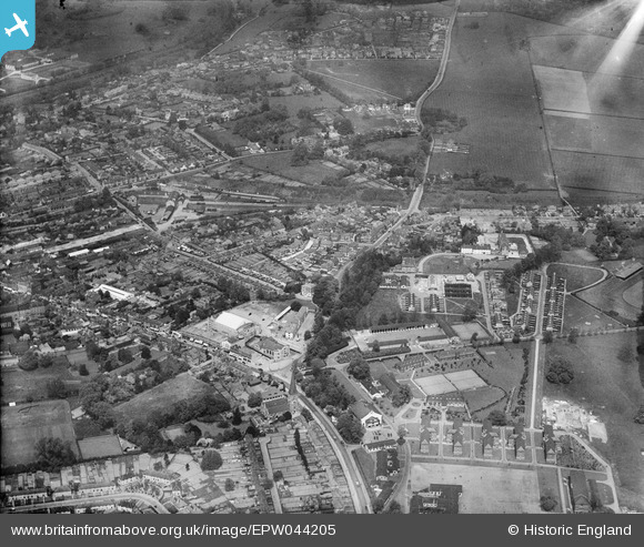
EPW044205 ENGLAND (1934). The terminus of the LPTB Metropolitan Line, RAF Uxridge and environs, Uxbridge, 1934
© Copyright OpenStreetMap contributors and licensed by the OpenStreetMap Foundation. 2024. Cartography is licensed as CC BY-SA.
Nearby Images (11)
EPW044205

EPW047466

EPW025809

EPW025807

EPW025811

EPW025815

EPW025814

EPW025810

EPW025813

EPW025806

EPW025812

Details
| Title | [EPW044205] The terminus of the LPTB Metropolitan Line, RAF Uxridge and environs, Uxbridge, 1934 |
| Reference | EPW044205 |
| Date | May-1934 |
| Link | |
| Place name | UXBRIDGE |
| Parish | |
| District | |
| Country | ENGLAND |
| Easting / Northing | 505979, 184156 |
| Longitude / Latitude | -0.47148349400512, 51.54585570806 |
| National Grid Reference | TQ060842 |
Pins
 Trish |
Monday 28th of November 2016 06:48:57 AM | |
brian |
Wednesday 1st of January 2014 06:24:49 PM | |
brian |
Wednesday 1st of January 2014 06:24:12 PM | |
brian |
Wednesday 1st of January 2014 06:18:12 PM | |
brian |
Wednesday 1st of January 2014 06:17:10 PM | |
brian |
Wednesday 1st of January 2014 06:12:51 PM | |
dave43 |
Thursday 16th of May 2013 07:23:53 PM | |
dave43 |
Thursday 16th of May 2013 07:20:18 PM | |
dave43 |
Thursday 16th of May 2013 07:19:48 PM |


