
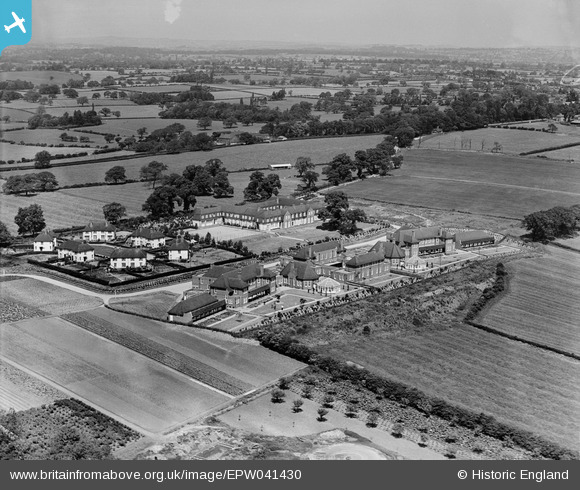
EPW041430 ENGLAND (1933). Derbyshire County Council Mental Hospital, Edmund's Square and environs, Burnaston, from the south, 1933
© Copyright OpenStreetMap contributors and licensed by the OpenStreetMap Foundation. 2024. Cartography is licensed as CC BY-SA.
Nearby Images (5)
EPW041430

EPW041431

EPW041434
 and surrounding countryside, Burnaston, 1933")
EPW041432
 and environs, Burnaston, 1933")
EPW041433
 and environs, Burnaston, 1933")
Details
| Title | [EPW041430] Derbyshire County Council Mental Hospital, Edmund's Square and environs, Burnaston, from the south, 1933 |
| Reference | EPW041430 |
| Date | June-1933 |
| Link | |
| Place name | BURNASTON |
| Parish | BURNASTON |
| District | |
| Country | ENGLAND |
| Easting / Northing | 429978, 333327 |
| Longitude / Latitude | -1.5543265881526, 52.89623105647 |
| National Grid Reference | SK300333 |
Pins
 Dave.. |
Friday 16th of June 2023 10:23:41 PM |


