
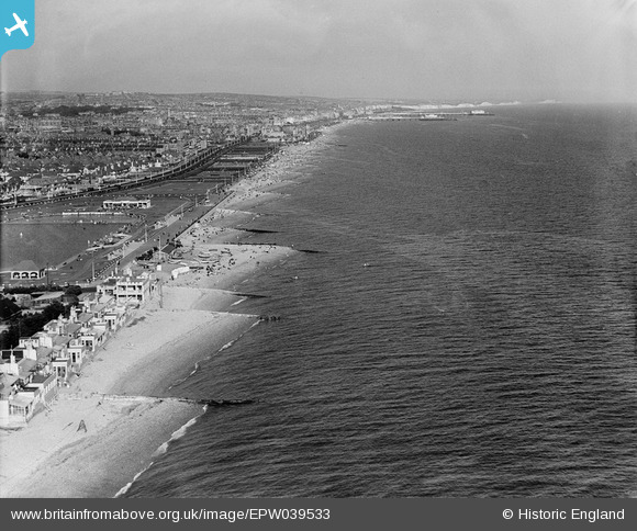
EPW039533 ENGLAND (1932). The Western Lawns and the seafront, Portslade-by-Sea, from the west, 1932
© Copyright OpenStreetMap contributors and licensed by the OpenStreetMap Foundation. 2024. Cartography is licensed as CC BY-SA.
Nearby Images (4)
EPW039533

EPW017751

EPW018086

EAW022683

Details
| Title | [EPW039533] The Western Lawns and the seafront, Portslade-by-Sea, from the west, 1932 |
| Reference | EPW039533 |
| Date | August-1932 |
| Link | |
| Place name | PORTSLADE-BY-SEA |
| Parish | |
| District | |
| Country | ENGLAND |
| Easting / Northing | 526732, 104459 |
| Longitude / Latitude | -0.20043833699517, 50.825220832461 |
| National Grid Reference | TQ267045 |
Pins
 Alan McFaden |
Thursday 27th of November 2014 10:55:30 PM | |
Alan McFaden |
Thursday 27th of November 2014 10:54:25 PM | |
Alan McFaden |
Thursday 27th of November 2014 10:53:40 PM |


