
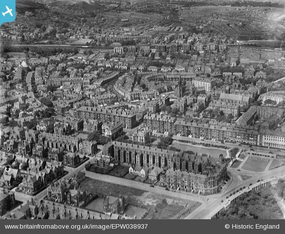
EPW038937 ENGLAND (1932). St Andrew's United Reform Church, Prince of Wales Terrace and environs, Scarborough, 1932
© Copyright OpenStreetMap contributors and licensed by the OpenStreetMap Foundation. 2024. Cartography is licensed as CC BY-SA.
Nearby Images (3)
EPW038937

EPW029090

EPW029091

Details
| Title | [EPW038937] St Andrew's United Reform Church, Prince of Wales Terrace and environs, Scarborough, 1932 |
| Reference | EPW038937 |
| Date | July-1932 |
| Link | |
| Place name | SCARBOROUGH |
| Parish | |
| District | |
| Country | ENGLAND |
| Easting / Northing | 504192, 487609 |
| Longitude / Latitude | -0.39976407939739, 54.273340239235 |
| National Grid Reference | TA042876 |
Pins
Be the first to add a comment to this image!