
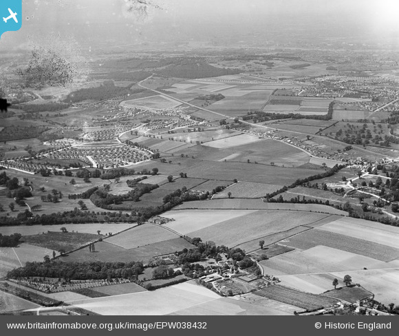
EPW038432 ENGLAND (1932). New housing site near Blackfen and Lamorbey Park Golf Course, Bexley, from the south-east, 1932
© Copyright OpenStreetMap contributors and licensed by the OpenStreetMap Foundation. 2024. Cartography is licensed as CC BY-SA.
Nearby Images (10)
EPW038432

EPW038428

EPW044372

EPW044375

EPW044371

EPW044723

EPW044722

EPW044373

EPW038440

EPW040880

Details
| Title | [EPW038432] New housing site near Blackfen and Lamorbey Park Golf Course, Bexley, from the south-east, 1932 |
| Reference | EPW038432 |
| Date | 14-June-1932 |
| Link | |
| Place name | BEXLEY |
| Parish | |
| District | |
| Country | ENGLAND |
| Easting / Northing | 547487, 173372 |
| Longitude / Latitude | 0.12229177006691, 51.439625126447 |
| National Grid Reference | TQ475734 |
Pins
 Stephen Challis |
Friday 13th of February 2015 09:49:54 PM | |
Stephen Challis |
Friday 13th of February 2015 09:49:14 PM | |
Stephen Challis |
Friday 13th of February 2015 09:48:44 PM | |
Stephen Challis |
Friday 13th of February 2015 09:48:24 PM | |
Stephen Challis |
Friday 13th of February 2015 09:48:10 PM | |
Stephen Challis |
Friday 13th of February 2015 09:47:52 PM |


