
EPW037770 ENGLAND (1932). Monk Meadow Dock and environs, Hempsted, 1932

© Copyright OpenStreetMap contributors and licensed by the OpenStreetMap Foundation. 2024. Cartography is licensed as CC BY-SA.
Nearby Images (16)
EPW037770

EAW012205

EAW012201

EPW024167

EPW037769

EPW037771

EAW012199

EAW012196

EAW012203

EAW012208

EPW016966

EAW012198

EAW012206

EPW048245

EPW037836

EPW048240

Details
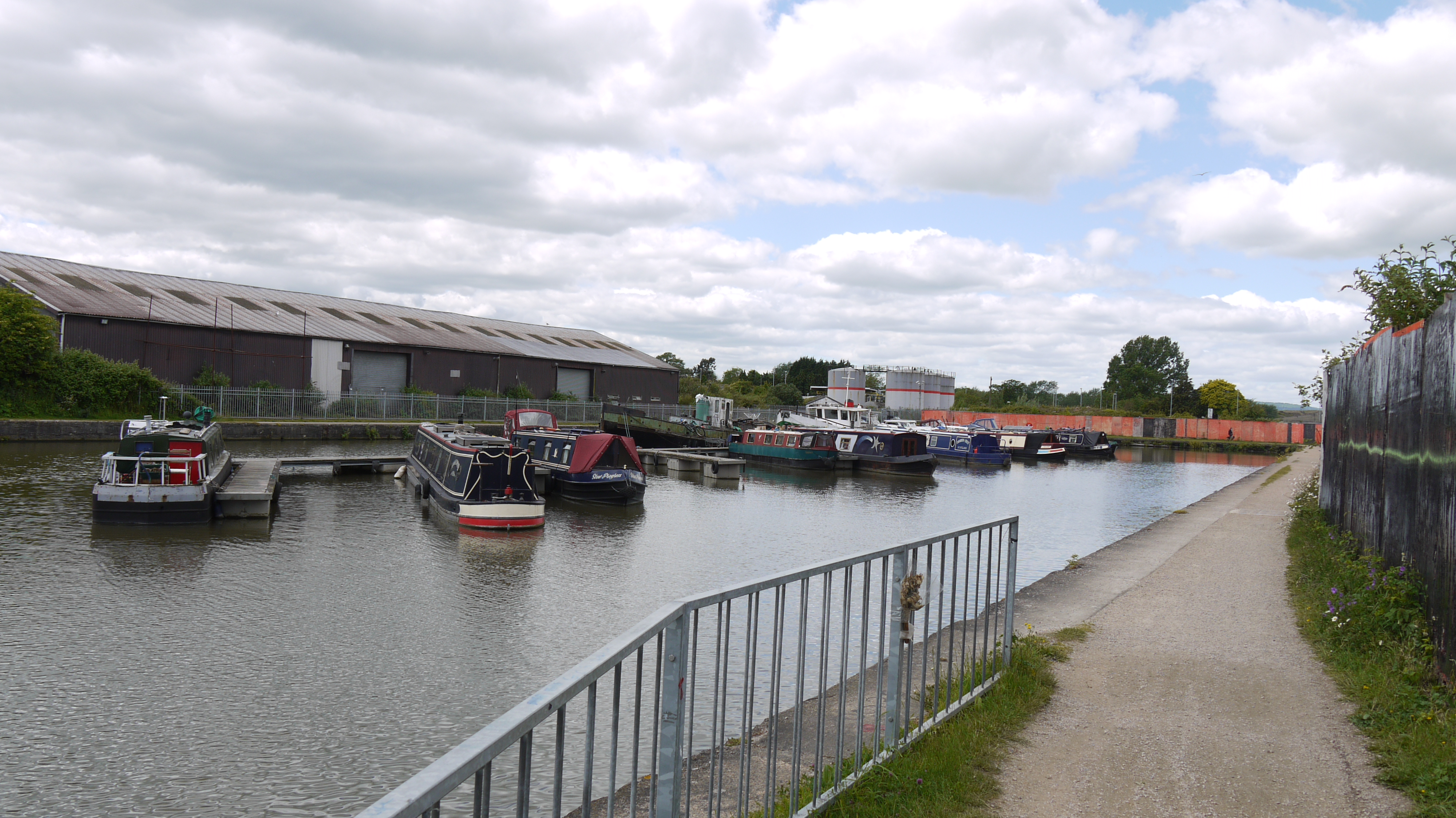
| Title | [EPW037770] Monk Meadow Dock and environs, Hempsted, 1932 |
| Reference | EPW037770 |
| Date | May-1932 |
| Link | |
| Place name | HEMPSTED |
| Parish | |
| District | |
| Country | ENGLAND |
| Easting / Northing | 382242, 217667 |
| Longitude / Latitude | -2.2578757987564, 51.856866286956 |
| National Grid Reference | SO822177 |
Pins
Be the first to add a comment to this image!
User Comment Contributions
 Monk Meadow Dock, Gloucester, 03/06/2015 |
 Class31 |
Thursday 4th of June 2015 12:09:01 PM |


