
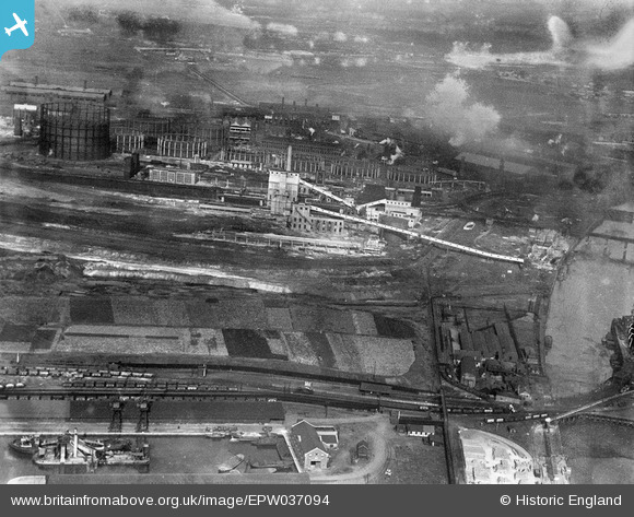
EPW037094 ENGLAND (1931). The Gas Light and Coke Company's Works, Beckton, 1931
© Copyright OpenStreetMap contributors and licensed by the OpenStreetMap Foundation. 2024. Cartography is licensed as CC BY-SA.
Nearby Images (18)
EPW037094

EPW037099

EPW037097

EPW037101

EPW042157

EPW037093

EPW037100

EPW042158

EPW037098

EPW037159

EPW037160

EPW037096

EPW037157

EPW037158

EPW037161

EPW037095

EPW042159

EPW042160

Details
| Title | [EPW037094] The Gas Light and Coke Company's Works, Beckton, 1931 |
| Reference | EPW037094 |
| Date | 23-October-1931 |
| Link | |
| Place name | BECKTON |
| Parish | |
| District | |
| Country | ENGLAND |
| Easting / Northing | 544259, 181011 |
| Longitude / Latitude | 0.078994616163359, 51.509105391814 |
| National Grid Reference | TQ443810 |
Pins
 Paul Williams |
Monday 1st of July 2019 05:14:28 PM |


