
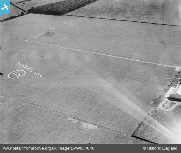
EPW034046 ENGLAND (1930). Tollerton Aerodrome, Tollerton, 1930
© Copyright OpenStreetMap contributors and licensed by the OpenStreetMap Foundation. 2024. Cartography is licensed as CC BY-SA.
Nearby Images (10)
EPW034046

EPW034043

EPW035995

EPW035993

EPW034045
 in hangar, Tollerton, 1930. This image has been affected by flare.")
EPW035994

EPW034047

EPW034044

EPW034048

EAW048688
, Tollerton, 1953. This image was marked by Aerofilms Ltd for photo editing.")
Details
| Title | [EPW034046] Tollerton Aerodrome, Tollerton, 1930 |
| Reference | EPW034046 |
| Date | July-1930 |
| Link | |
| Place name | TOLLERTON |
| Parish | TOLLERTON |
| District | |
| Country | ENGLAND |
| Easting / Northing | 461976, 336103 |
| Longitude / Latitude | -1.0781426811943, 52.918448180128 |
| National Grid Reference | SK620361 |
Pins
Be the first to add a comment to this image!


