
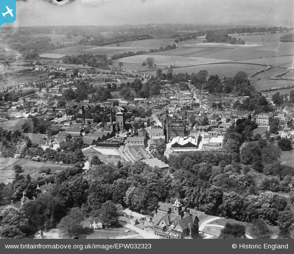
EPW032323 ENGLAND (1930). The Crowley and Co Brewery and the town, Alton, from the east, 1930
© Copyright OpenStreetMap contributors and licensed by the OpenStreetMap Foundation. 2024. Cartography is licensed as CC BY-SA.
Nearby Images (5)
EPW032323

EPW023433

EPW023434

EPW032319

EPW032702

Details
| Title | [EPW032323] The Crowley and Co Brewery and the town, Alton, from the east, 1930 |
| Reference | EPW032323 |
| Date | June-1930 |
| Link | |
| Place name | ALTON |
| Parish | ALTON |
| District | |
| Country | ENGLAND |
| Easting / Northing | 471964, 139163 |
| Longitude / Latitude | -0.9710700790494, 51.146676001238 |
| National Grid Reference | SU720392 |
Pins
 Sweet Pete |
Tuesday 10th of November 2015 01:25:02 PM | |
lumberjack |
Tuesday 25th of November 2014 01:45:49 PM | |
lumberjack |
Wednesday 13th of August 2014 12:11:22 AM | |
lumberjack |
Wednesday 13th of August 2014 12:09:49 AM | |
lumberjack |
Wednesday 13th of August 2014 12:06:49 AM | |
pd brambles |
Tuesday 12th of November 2013 09:58:00 PM | |
pd brambles |
Tuesday 12th of November 2013 09:57:29 PM | |
pd brambles |
Tuesday 12th of November 2013 09:56:16 PM |


