
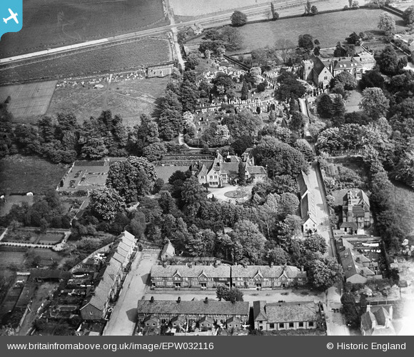
EPW032116 ENGLAND (1930). The Priory and environs, Orpington, 1930
© Copyright OpenStreetMap contributors and licensed by the OpenStreetMap Foundation. 2024. Cartography is licensed as CC BY-SA.
Nearby Images (13)
EPW032116

EPW032118

EPW032122

EPW032124

EPW032130

EPW032120

EPW032131

EPW032117

EPW032121

EPW032123

EPW032132

EPW032119

EPW032128

Details
| Title | [EPW032116] The Priory and environs, Orpington, 1930 |
| Reference | EPW032116 |
| Date | May-1930 |
| Link | |
| Place name | ORPINGTON |
| Parish | |
| District | |
| Country | ENGLAND |
| Easting / Northing | 546573, 166533 |
| Longitude / Latitude | 0.10632221375653, 51.378403340401 |
| National Grid Reference | TQ466665 |
Pins
 deejaybee |
Wednesday 12th of November 2014 01:18:26 PM | |
deejaybee |
Wednesday 12th of November 2014 12:58:43 PM | |
D.Daws |
Monday 11th of March 2013 11:22:52 AM | |
Buzby9 |
Sunday 16th of December 2012 07:09:28 PM | |
Buzby9 |
Sunday 16th of December 2012 07:09:24 PM | |
Buzby9 |
Sunday 16th of December 2012 07:09:23 PM | |
Buzby9 |
Sunday 16th of December 2012 07:09:07 PM |


