
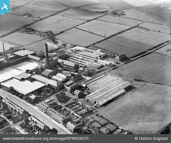
EPW028375 ENGLAND (1929). Wardley Cotton Mill, Walkden, 1929
© Copyright OpenStreetMap contributors and licensed by the OpenStreetMap Foundation. 2024. Cartography is licensed as CC BY-SA.
Nearby Images (8)
EPW028375

EPW028370

EPW028369

EPW028374

EPW028368

EPW028372

EPW028371

EPW028376

Details
| Title | [EPW028375] Wardley Cotton Mill, Walkden, 1929 |
| Reference | EPW028375 |
| Date | August-1929 |
| Link | |
| Place name | WALKDEN |
| Parish | |
| District | |
| Country | ENGLAND |
| Easting / Northing | 374775, 403158 |
| Longitude / Latitude | -2.3805356235949, 53.524235130303 |
| National Grid Reference | SD748032 |
Pins
Be the first to add a comment to this image!


