
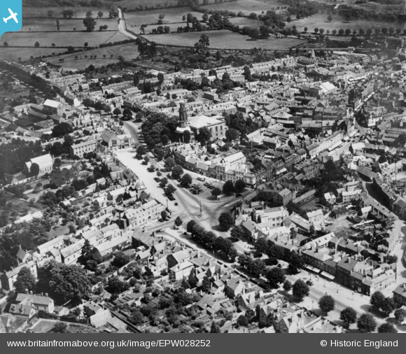
EPW028252 ENGLAND (1929). Horse Fair and the town centre, Banbury, 1929. This image has been produced from a copy-negative.
© Copyright OpenStreetMap contributors and licensed by the OpenStreetMap Foundation. 2024. Cartography is licensed as CC BY-SA.
Nearby Images (21)
EPW028252

EAW029563

EPW028256

EAW006314

EAW006322

EAW029564

EAW006313

EPW028255

EPW006004

EPW010584

EPW028257

EAW006315

EAW006312

EAW006319

EAW006320

EAW006317

EAW006321

EAW006318

EAW006316

EPW028260

EAW029565

Details
| Title | [EPW028252] Horse Fair and the town centre, Banbury, 1929. This image has been produced from a copy-negative. |
| Reference | EPW028252 |
| Date | August-1929 |
| Link | |
| Place name | BANBURY |
| Parish | BANBURY |
| District | |
| Country | ENGLAND |
| Easting / Northing | 445364, 240463 |
| Longitude / Latitude | -1.3382479511722, 52.060268258741 |
| National Grid Reference | SP454405 |
Pins
Be the first to add a comment to this image!
User Comment Contributions
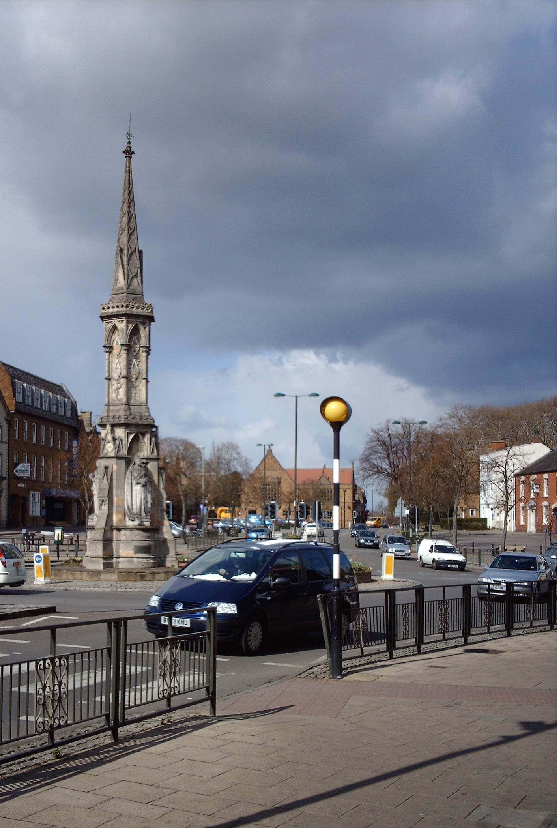 Banbury Cross, 05/04/2008 |
 Class31 |
Thursday 30th of April 2015 08:46:25 AM |


