
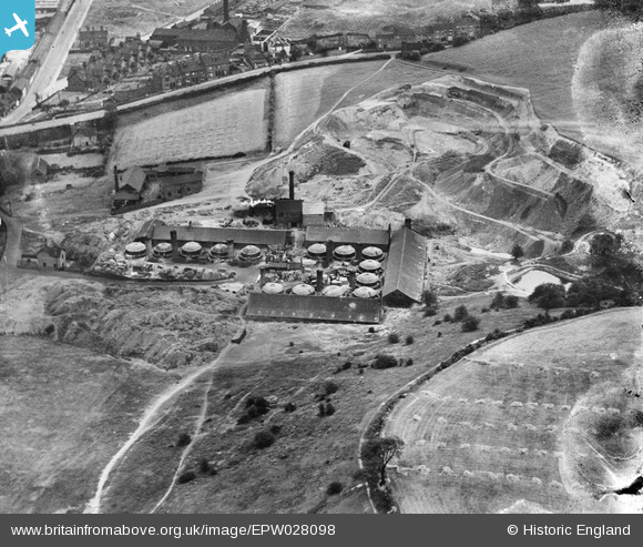
EPW028098 ENGLAND (1929). The Etruria Tileries, Newcastle-under-Lyme, 1929
© Copyright OpenStreetMap contributors and licensed by the OpenStreetMap Foundation. 2024. Cartography is licensed as CC BY-SA.
Nearby Images (12)
EPW028098

EPW028097

EPW028095

EPW028096

EPW028092

EPW028094

EPW028093

EPW038488

EPW038490

EAW021622

EPW038493

EAW021621

Details
| Title | [EPW028098] The Etruria Tileries, Newcastle-under-Lyme, 1929 |
| Reference | EPW028098 |
| Date | July-1929 |
| Link | |
| Place name | NEWCASTLE-UNDER-LYME |
| Parish | |
| District | |
| Country | ENGLAND |
| Easting / Northing | 386269, 347013 |
| Longitude / Latitude | -2.2047173624592, 53.019931854646 |
| National Grid Reference | SJ863470 |
Pins
Be the first to add a comment to this image!


