
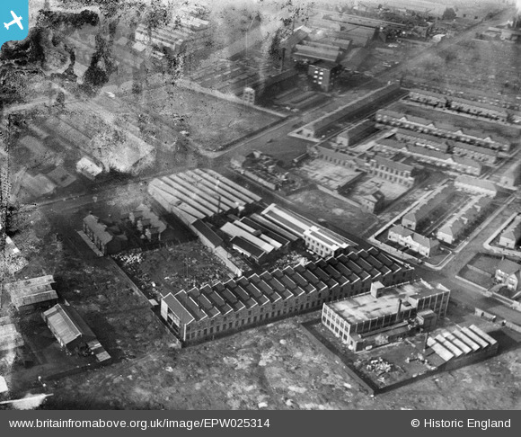
EPW025314 ENGLAND (1928). Liverpool Electric Cable Co Works and the Mersey Cable Works, Bootle, 1928
© Copyright OpenStreetMap contributors and licensed by the OpenStreetMap Foundation. 2024. Cartography is licensed as CC BY-SA.
Nearby Images (26)
EPW025314

EPR000196

EAW036943

EAW036944

EAW036063

EAW036947

EPW025316

EAW036057

EAW036060

EAW036056

EAW036062

EPW025315

EAW036055

EAW036059

EAW036946

EAW036948

EPW025319

EAW036949

EPW025313

EPW025312

EAW036945

EAW036058

EAW036942

EAW036941

EAW036061

EPW050520

Details
| Title | [EPW025314] Liverpool Electric Cable Co Works and the Mersey Cable Works, Bootle, 1928 |
| Reference | EPW025314 |
| Date | 3-November-1928 |
| Link | |
| Place name | BOOTLE |
| Parish | |
| District | |
| Country | ENGLAND |
| Easting / Northing | 334721, 396365 |
| Longitude / Latitude | -2.9832951076689, 53.459729299244 |
| National Grid Reference | SJ347964 |
Pins
 Davemat |
Saturday 15th of November 2014 08:22:27 PM | |
Davemat |
Saturday 15th of November 2014 08:21:14 PM | |
Davemat |
Saturday 15th of November 2014 08:20:00 PM | |
Davemat |
Saturday 15th of November 2014 08:19:14 PM |


