
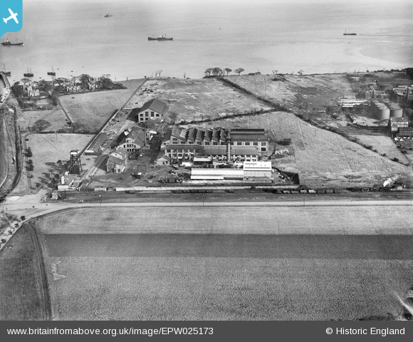
EPW025173 ENGLAND (1928). Brotherton and Co Mersey Chemical Works, Bromborough, 1928
© Copyright OpenStreetMap contributors and licensed by the OpenStreetMap Foundation. 2024. Cartography is licensed as CC BY-SA.
Nearby Images (45)
EPW025173

EPW025161

EPW025172

EAW004095

EPW025168

EAW008558

EAW046245

EAW046243

EAW008552

EPW025171

EPW061651

EAW008557

EPW025166

EAW046240

EAW046241

EAW046249

EPW025163

EPW061650

EPW061648

EPW025164

EPW025162

EAW046246

EPW025165

EPW025160

EPW025169

EPW061649

EPW025170

EAW004088

EAW004089

EPW061647

EPW061646

EPW025167

EPW061645

EAW008553

EAW046248

EAW008554

EAW008556

EAW004094
 and environs, Bromborough, from the north-west, 1947. This image was marked by Aerofilms Ltd for photo editing.")
EAW046247

EAW046242

EAW008555

EAW046244

EAW004093
, Bromborough, from the south, 1947. This image was marked by Aerofilms Ltd for photo editing.")
EAW004091
 and environs, Bromborough, 1947. This image was marked by Aerofilms Ltd for photo editing.")
EAW004090
 and environs, Bromborough, 1947. This image was marked by Aerofilms Ltd for photo editing.")
Details
| Title | [EPW025173] Brotherton and Co Mersey Chemical Works, Bromborough, 1928 |
| Reference | EPW025173 |
| Date | 17-October-1928 |
| Link | |
| Place name | BROMBOROUGH |
| Parish | |
| District | |
| Country | ENGLAND |
| Easting / Northing | 335316, 383344 |
| Longitude / Latitude | -2.9716638609751, 53.342765883948 |
| National Grid Reference | SJ353833 |
Pins
Be the first to add a comment to this image!


