
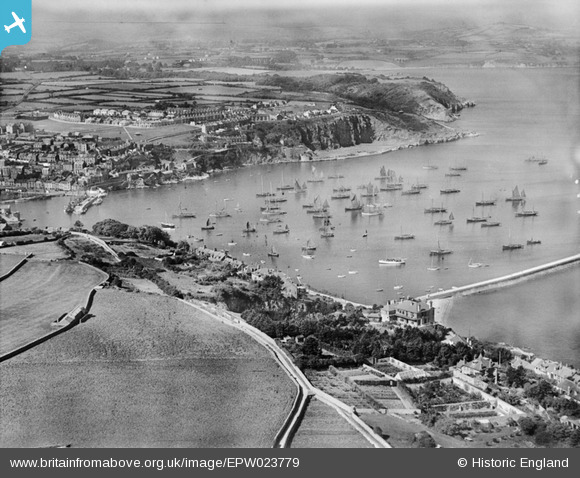
EPW023779 ENGLAND (1928). The Outer Harbour, Brixham, from the east, 1928
© Copyright OpenStreetMap contributors and licensed by the OpenStreetMap Foundation. 2024. Cartography is licensed as CC BY-SA.
Nearby Images (3)
EPW023779

EPW023781

EAW007577

Details
| Title | [EPW023779] The Outer Harbour, Brixham, from the east, 1928 |
| Reference | EPW023779 |
| Date | September-1928 |
| Link | |
| Place name | BRIXHAM |
| Parish | BRIXHAM |
| District | |
| Country | ENGLAND |
| Easting / Northing | 293146, 56544 |
| Longitude / Latitude | -3.5036155375809, 50.398440484132 |
| National Grid Reference | SX931565 |
Pins
 cidge |
Friday 8th of December 2017 03:16:04 PM | |
cidge |
Friday 8th of December 2017 03:04:53 PM | |
 Class31 |
Thursday 3rd of July 2014 06:16:20 PM | |
Class31 |
Thursday 3rd of July 2014 06:09:01 PM |

User Comment Contributions
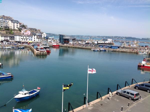
 Outer Harbour, Brixham, 02/07/2014 |
Class31 |
Thursday 3rd of July 2014 06:14:49 PM |
 Outer Harbour, Brixham, 02/07/2014 |
Class31 |
Thursday 3rd of July 2014 06:14:12 PM |
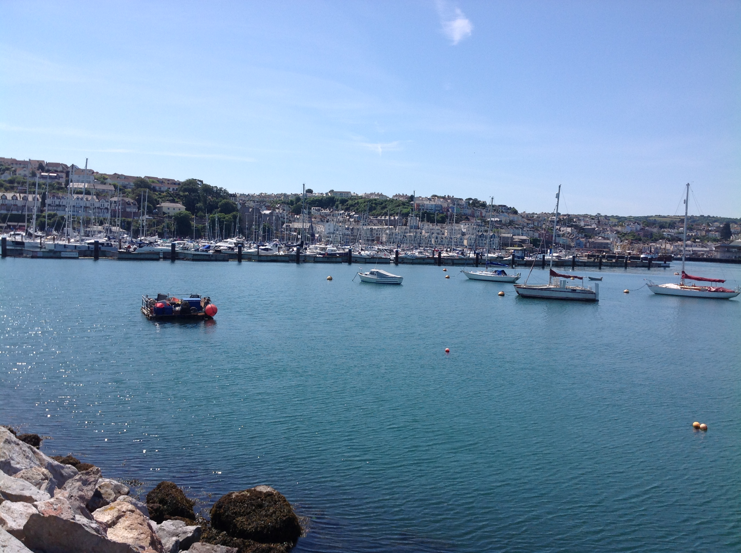
 Brixham Marina, Brixham, 02/07/2014 |
Class31 |
Thursday 3rd of July 2014 06:13:32 PM |
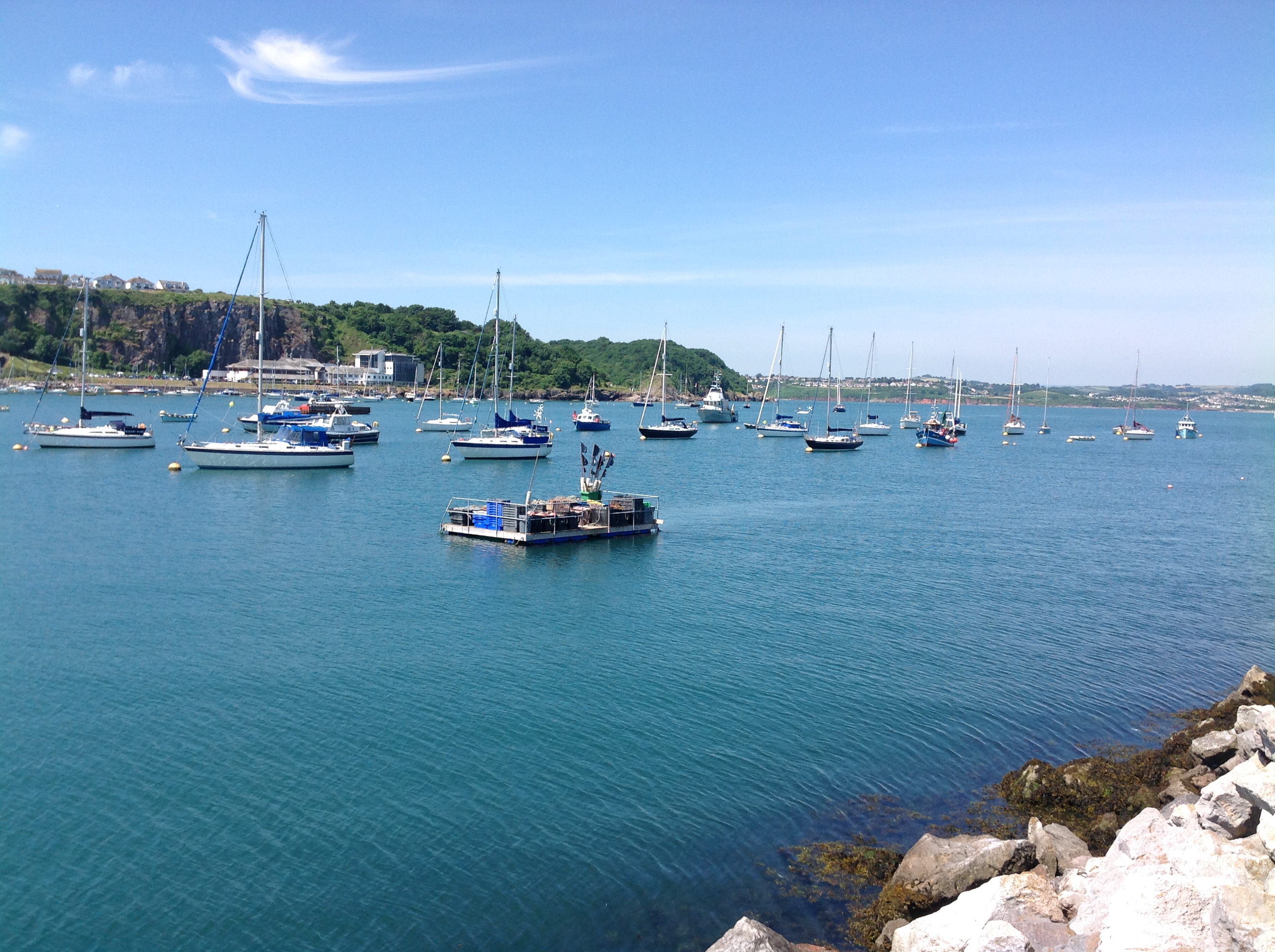
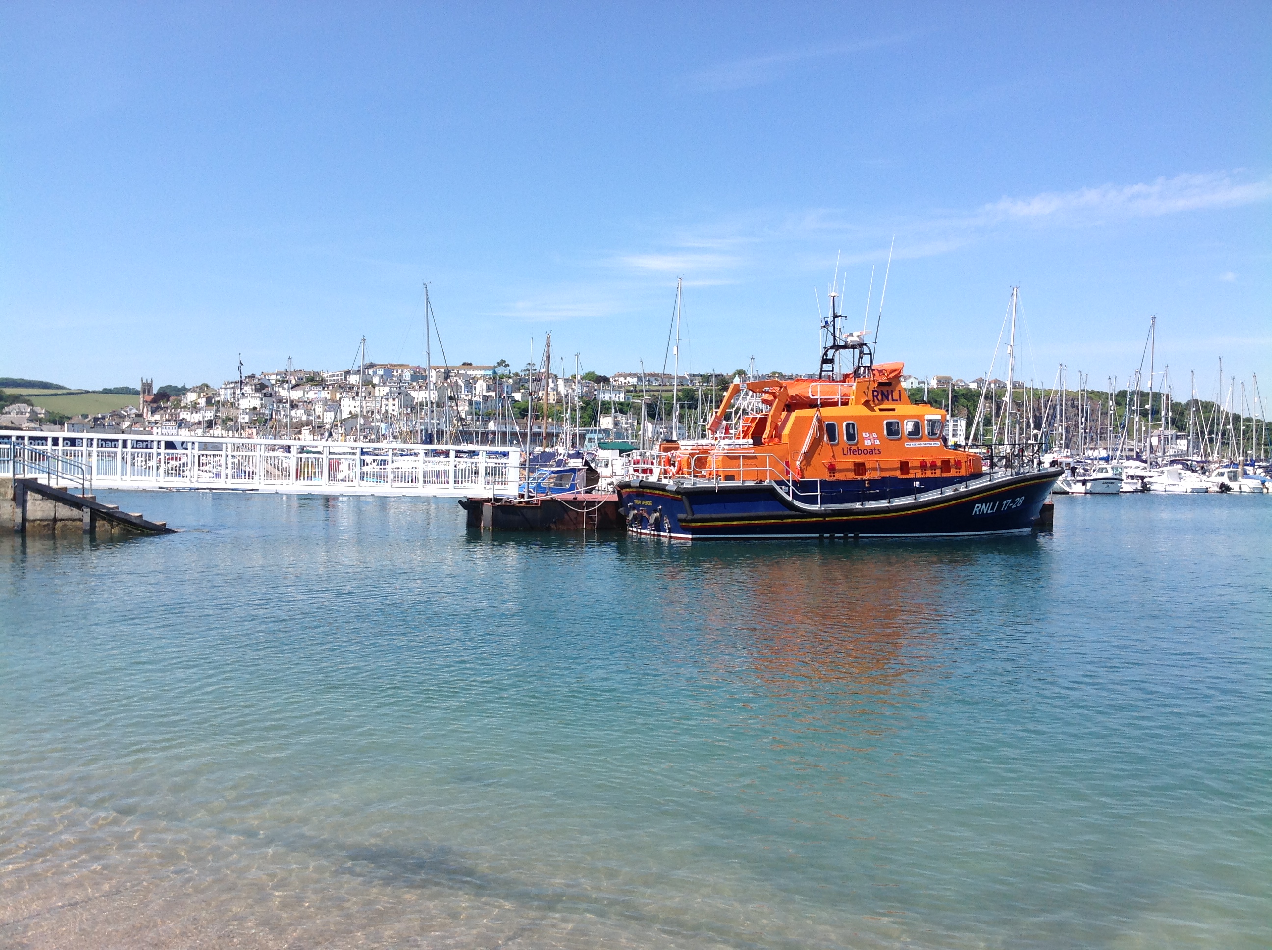 The lifeboat pier, Brixham, 02/07/2014 |
Class31 |
Thursday 3rd of July 2014 06:12:22 PM |
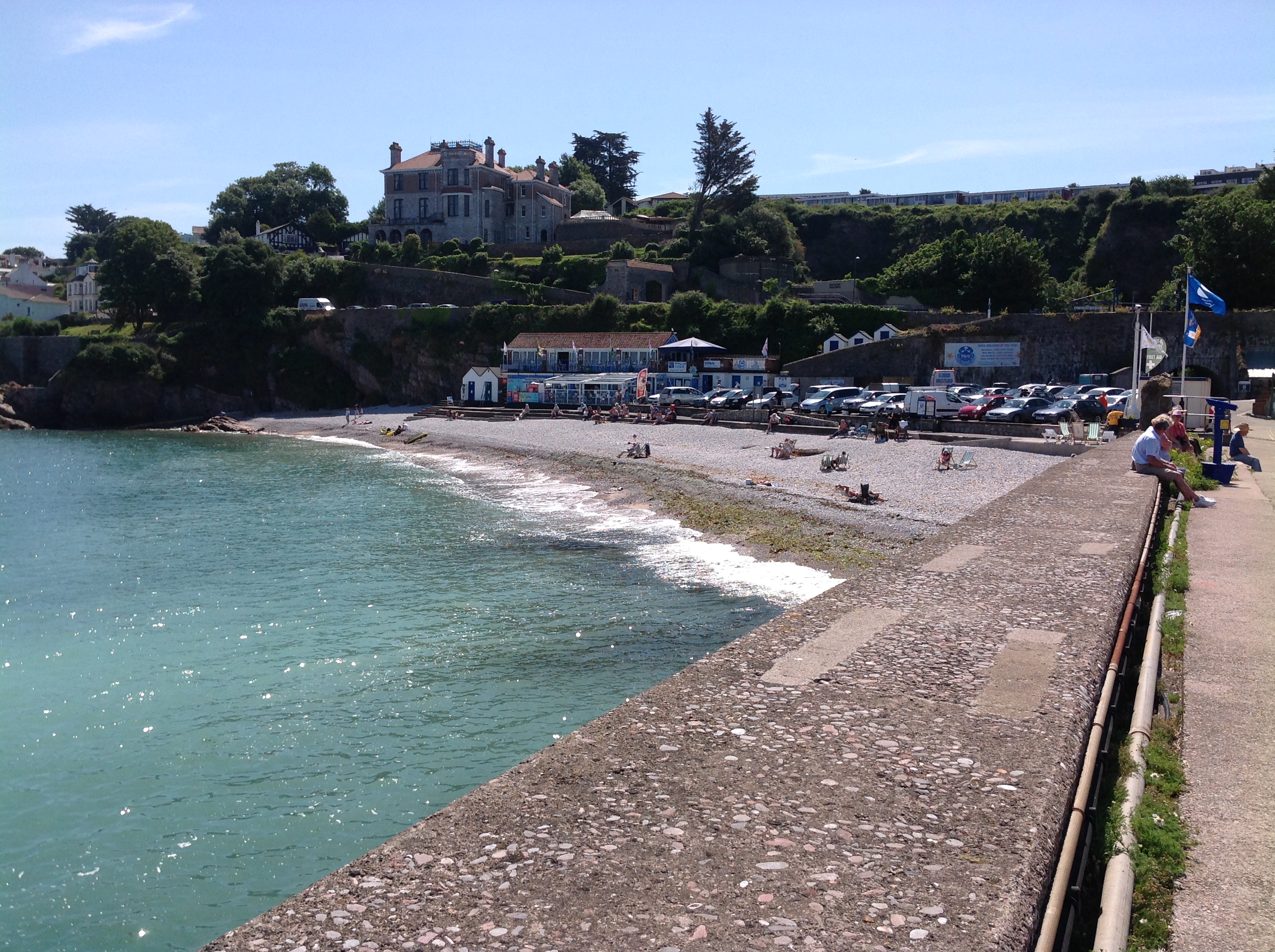 Looking onshore from the Victoria Breakwater, Brixham, 02/07/2014 |
Class31 |
Thursday 3rd of July 2014 06:10:25 PM |