
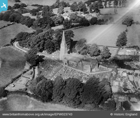
EPW023743 ENGLAND (1928). St George's Church, Modbury, 1928
© Copyright OpenStreetMap contributors and licensed by the OpenStreetMap Foundation. 2024. Cartography is licensed as CC BY-SA.
Nearby Images (5)
EPW023743

EPW023744

EPW033046

EPW023741

EPW023747

Details
| Title | [EPW023743] St George's Church, Modbury, 1928 |
| Reference | EPW023743 |
| Date | September-1928 |
| Link | |
| Place name | MODBURY |
| Parish | MODBURY |
| District | |
| Country | ENGLAND |
| Easting / Northing | 265599, 51541 |
| Longitude / Latitude | -3.8892593993063, 50.347812544357 |
| National Grid Reference | SX656515 |
Pins
Be the first to add a comment to this image!


