
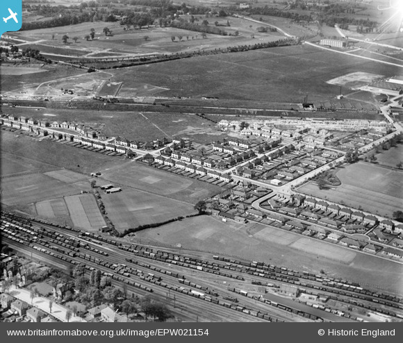
EPW021154 ENGLAND (1928). Acton Housing Estate, Acton, from the south-east, 1928
© Copyright OpenStreetMap contributors and licensed by the OpenStreetMap Foundation. 2024. Cartography is licensed as CC BY-SA.
Nearby Images (12)
EPW021154

EPW021149

EPW021148

EPW021153

EPW020881

EPW021151

EPW020335

EPW020337

EPW020337
EPW020880

EPW020334

EPW020338

Details
| Title | [EPW021154] Acton Housing Estate, Acton, from the south-east, 1928 |
| Reference | EPW021154 |
| Date | April-1928 |
| Link | |
| Place name | ACTON |
| Parish | |
| District | |
| Country | ENGLAND |
| Easting / Northing | 519969, 181291 |
| Longitude / Latitude | -0.27077758137685, 51.517302864525 |
| National Grid Reference | TQ200813 |
Pins
 AlanAudio |
Wednesday 27th of June 2012 10:49:56 AM |


