
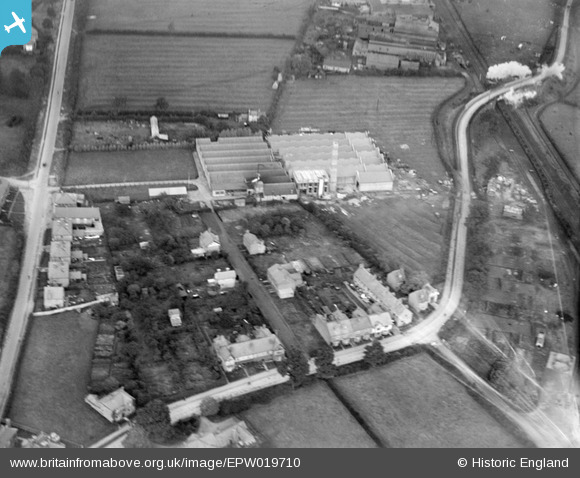
EPW019710 ENGLAND (1927). The Vedonis Works, Lutterworth, 1927
© Copyright OpenStreetMap contributors and licensed by the OpenStreetMap Foundation. 2024. Cartography is licensed as CC BY-SA.
Nearby Images (24)
EPW019710

EAW052453

EPW019712

EAW003376

EAW052456

EAW052452

EAW003378

EPW019711

EAW003377

EPW019709

EAW052454

EAW003373

EAW003374

EAW003381

EAW003379

EAW052459

EAW003371

EPW019708

EAW052455

EAW003380

EAW052457

EAW003375

EAW003372

EAW052458

Details
| Title | [EPW019710] The Vedonis Works, Lutterworth, 1927 |
| Reference | EPW019710 |
| Date | October-1927 |
| Link | |
| Place name | LUTTERWORTH |
| Parish | LUTTERWORTH |
| District | |
| Country | ENGLAND |
| Easting / Northing | 454664, 284871 |
| Longitude / Latitude | -1.1954028379039, 52.458677095615 |
| National Grid Reference | SP547849 |
Pins
Be the first to add a comment to this image!


