
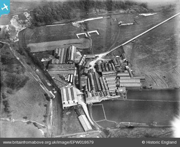
EPW018679 ENGLAND (1927). Firwood Bleach Works, Firwood Fold, 1927
© Copyright OpenStreetMap contributors and licensed by the OpenStreetMap Foundation. 2024. Cartography is licensed as CC BY-SA.
Nearby Images (13)
EPW018679

EPW017803

EPW017804

EPW017805

EPW018677

EPW018680

EPW018678

EPW018682

EPW017800

EPW018683

EPW017802

EPW018681

EPW017806

Details
| Title | [EPW018679] Firwood Bleach Works, Firwood Fold, 1927 |
| Reference | EPW018679 |
| Date | 2-July-1927 |
| Link | |
| Place name | FIRWOOD FOLD |
| Parish | |
| District | |
| Country | ENGLAND |
| Easting / Northing | 373480, 410996 |
| Longitude / Latitude | -2.4007363266445, 53.594628340405 |
| National Grid Reference | SD735110 |
Pins
 JMB |
Wednesday 18th of July 2012 07:59:17 PM |


