
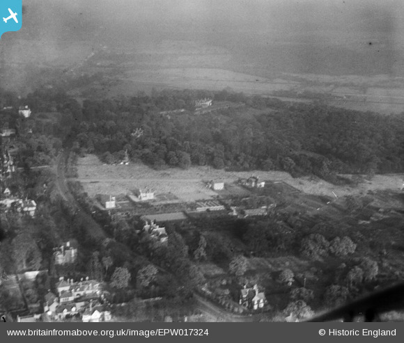
EPW017324 ENGLAND (1926). Coombewood Nursery and Coombe Hurst, Coombe, 1926
© Copyright OpenStreetMap contributors and licensed by the OpenStreetMap Foundation. 2024. Cartography is licensed as CC BY-SA.
Nearby Images (7)
EPW017324

EPW017322

EPW017326

EPW017325

EPW017327

EPW016634

EPW016624

Details
| Title | [EPW017324] Coombewood Nursery and Coombe Hurst, Coombe, 1926 |
| Reference | EPW017324 |
| Date | 16-November-1926 |
| Link | |
| Place name | COOMBE |
| Parish | |
| District | |
| Country | ENGLAND |
| Easting / Northing | 520392, 171213 |
| Longitude / Latitude | -0.26811785555988, 51.426627455136 |
| National Grid Reference | TQ204712 |
Pins
Be the first to add a comment to this image!


