EPW016864 ENGLAND (1926). Undercliff Drive and residential area, Boscombe, 1926

© Copyright OpenStreetMap contributors and licensed by the OpenStreetMap Foundation. 2024. Cartography is licensed as CC BY-SA.
Nearby Images (4)
EPW016864

EPW000257

EAW035604

EPR000669

Details
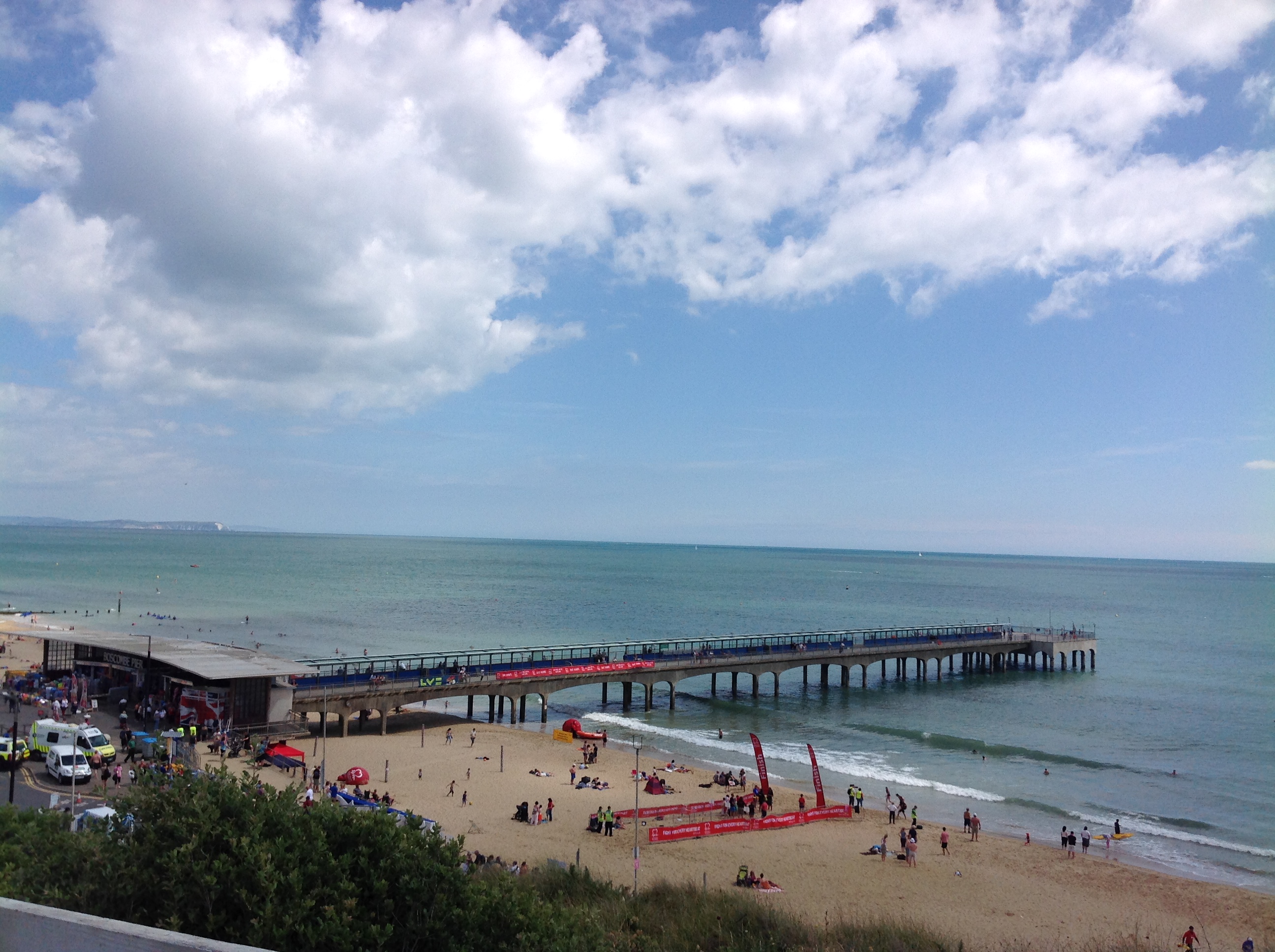
| Title | [EPW016864] Undercliff Drive and residential area, Boscombe, 1926 |
| Reference | EPW016864 |
| Date | August-1926 |
| Link | |
| Place name | BOSCOMBE |
| Parish | |
| District | |
| Country | ENGLAND |
| Easting / Northing | 410880, 91174 |
| Longitude / Latitude | -1.8458596698446, 50.719516578176 |
| National Grid Reference | SZ109912 |
Pins
 Vauni |
Monday 27th of January 2014 09:26:03 AM | |
 Class31 |
Friday 3rd of January 2014 06:58:30 PM | |
micky |
Wednesday 2nd of January 2013 02:53:07 PM | |
micky |
Wednesday 2nd of January 2013 02:52:17 PM | |
micky |
Wednesday 2nd of January 2013 02:50:29 PM | |
micky |
Wednesday 2nd of January 2013 02:49:49 PM | |
micky |
Wednesday 2nd of January 2013 02:48:49 PM | |
micky |
Wednesday 2nd of January 2013 02:44:37 PM | |
micky |
Wednesday 2nd of January 2013 02:43:07 PM |