
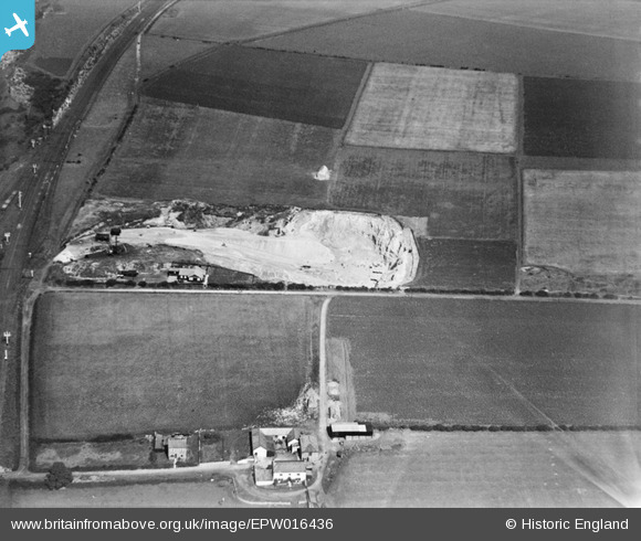
EPW016436 ENGLAND (1926). Ford Quarry, South Hylton, 1926
© Copyright OpenStreetMap contributors and licensed by the OpenStreetMap Foundation. 2024. Cartography is licensed as CC BY-SA.
Nearby Images (5)
EPW016436

EPW016433

EPW016435

EPW016434

EPW016432

Details
| Title | [EPW016436] Ford Quarry, South Hylton, 1926 |
| Reference | EPW016436 |
| Date | 29-July-1926 |
| Link | |
| Place name | SOUTH HYLTON |
| Parish | |
| District | |
| Country | ENGLAND |
| Easting / Northing | 436141, 557079 |
| Longitude / Latitude | -1.4362640411442, 54.907034657352 |
| National Grid Reference | NZ361571 |
Pins
Be the first to add a comment to this image!


