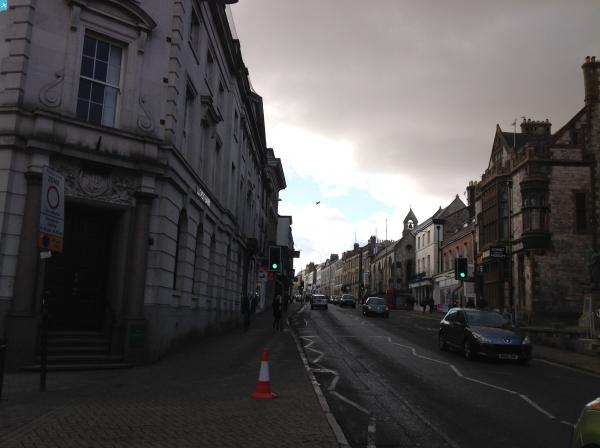
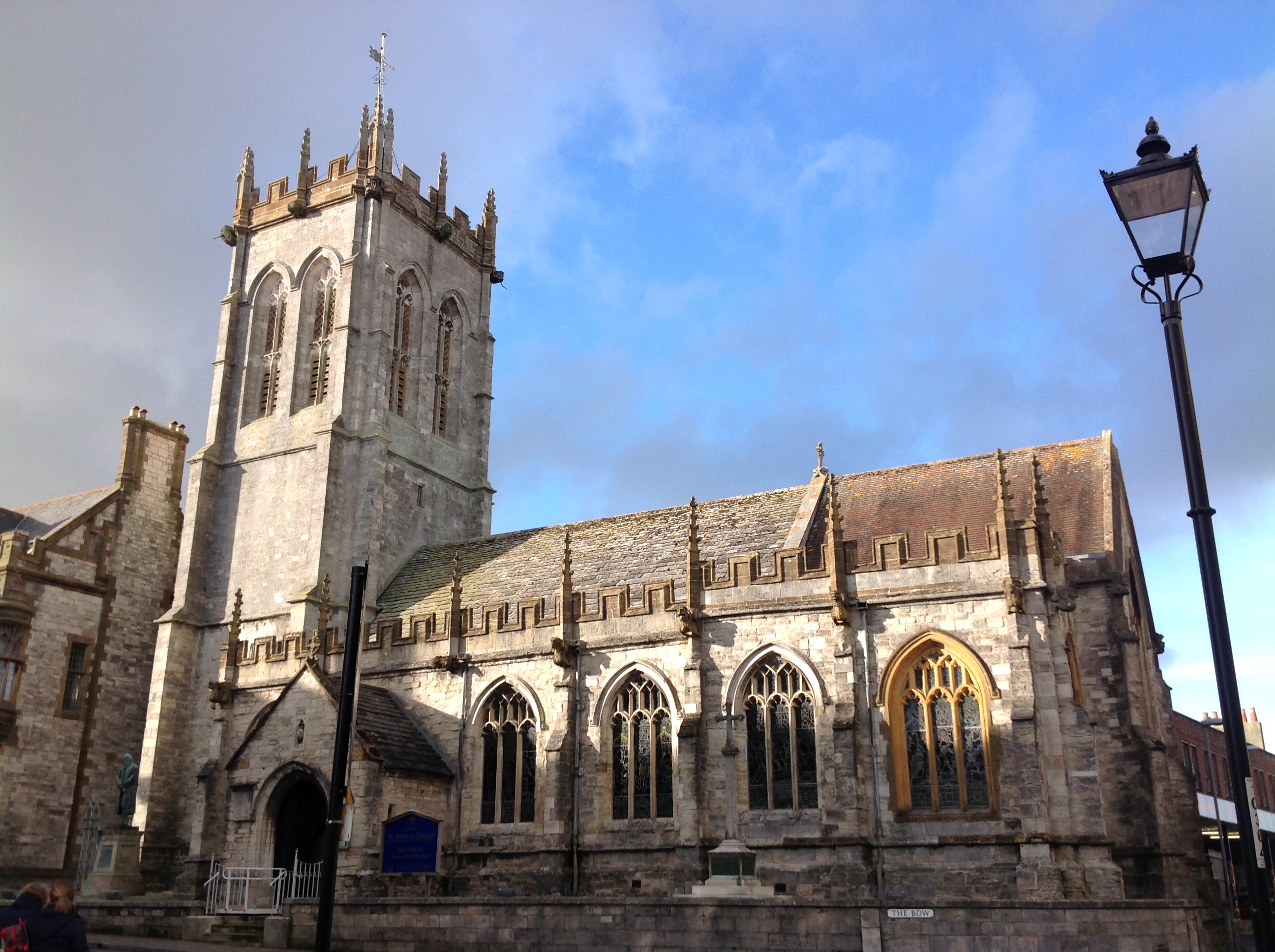
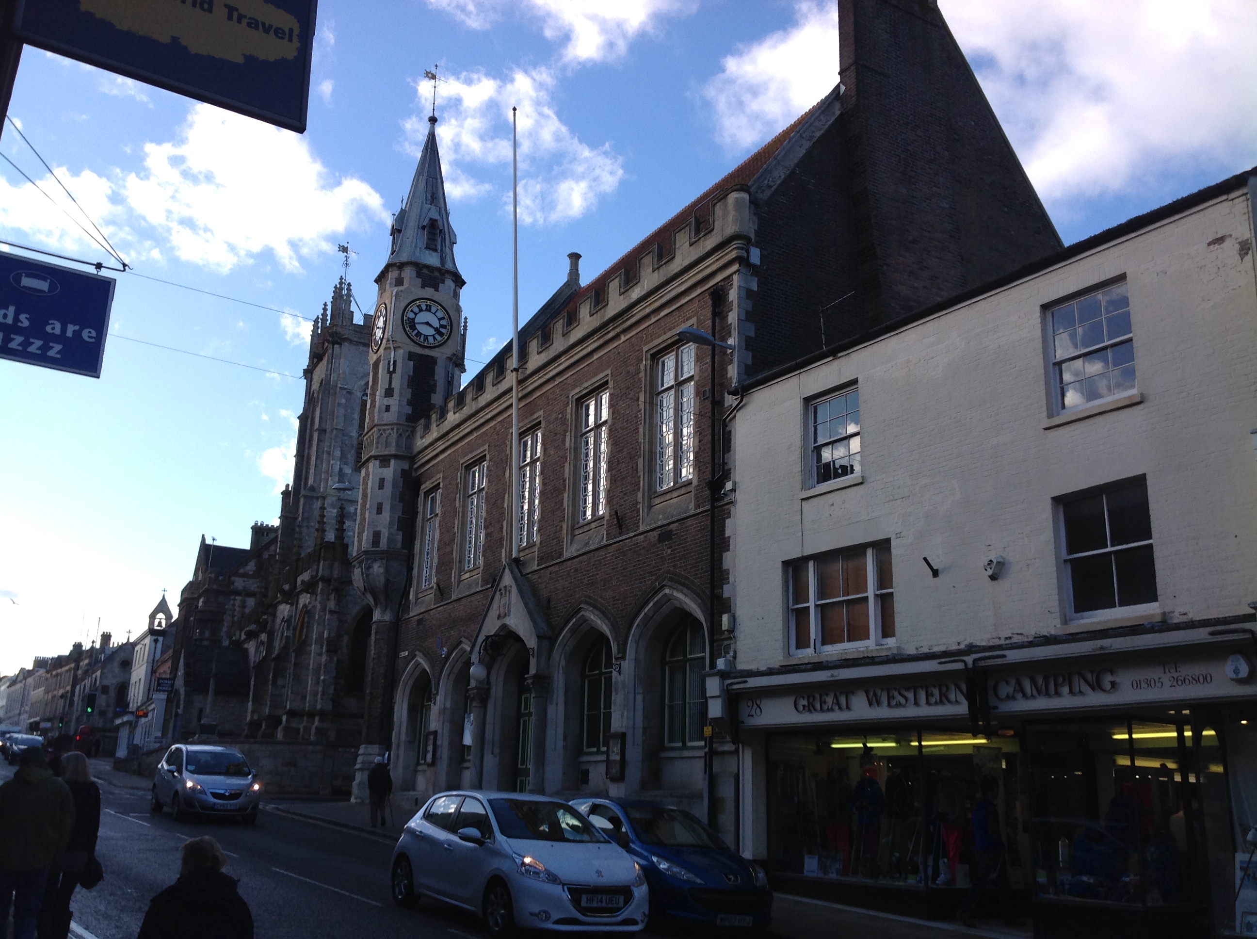
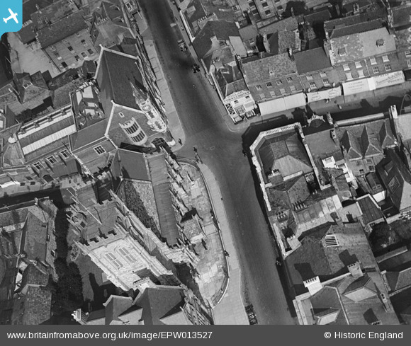
EPW013527 ENGLAND (1925). St Peter's Church, Dorchester, 1925
© Copyright OpenStreetMap contributors and licensed by the OpenStreetMap Foundation. 2024. Cartography is licensed as CC BY-SA.
Nearby Images (4)
EPW013527

EPW013528

EPW013529

EPW013525

Details
| Title | [EPW013527] St Peter's Church, Dorchester, 1925 |
| Reference | EPW013527 |
| Date | June-1925 |
| Link | |
| Place name | DORCHESTER |
| Parish | DORCHESTER |
| District | |
| Country | ENGLAND |
| Easting / Northing | 369266, 90738 |
| Longitude / Latitude | -2.4353759024143, 50.714884339873 |
| National Grid Reference | SY693907 |
Pins
 Class31 |
Monday 23rd of February 2015 09:34:38 AM | |
Class31 |
Monday 23rd of February 2015 09:33:34 AM | |
Class31 |
Monday 23rd of February 2015 09:32:51 AM | |
Class31 |
Monday 23rd of February 2015 09:30:13 AM | |
Class31 |
Monday 23rd of February 2015 09:28:29 AM | |
Class31 |
Monday 23rd of February 2015 09:27:29 AM | |
David Parry |
Monday 7th of January 2013 10:14:02 PM |