
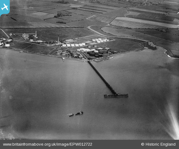
EPW012722 ENGLAND (1925). The Jetty and Salt End Distillery, Salt End, 1925
© Copyright OpenStreetMap contributors and licensed by the OpenStreetMap Foundation. 2024. Cartography is licensed as CC BY-SA.
Nearby Images (10)
EPW012722

EPW012718

EPW012720

EAW015665

EAW046133

EPW012724

EPW010805

EPW006330

EPW036409

EPW012719

Details
| Title | [EPW012722] The Jetty and Salt End Distillery, Salt End, 1925 |
| Reference | EPW012722 |
| Date | 6-May-1925 |
| Link | |
| Place name | SALT END |
| Parish | PRESTON |
| District | |
| Country | ENGLAND |
| Easting / Northing | 515953, 427345 |
| Longitude / Latitude | -0.24219086448804, 53.729371431832 |
| National Grid Reference | TA160273 |
Pins
 gBr |
Friday 20th of November 2015 10:45:56 PM |


