
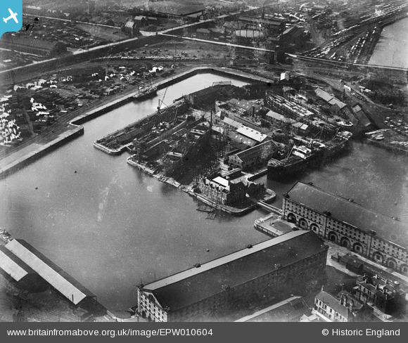
EPW010604 ENGLAND (1924). Gray's Dockyard, Hartlepool, 1924
© Copyright OpenStreetMap contributors and licensed by the OpenStreetMap Foundation. 2024. Cartography is licensed as CC BY-SA.
Nearby Images (6)
EPW010604

EPW010606

EPW010607

EAW695745

EPW010605

EAW009423

Details
| Title | [EPW010604] Gray's Dockyard, Hartlepool, 1924 |
| Reference | EPW010604 |
| Date | 14-June-1924 |
| Link | |
| Place name | HARTLEPOOL |
| Parish | |
| District | |
| Country | ENGLAND |
| Easting / Northing | 451218, 532975 |
| Longitude / Latitude | -1.2053715994286, 54.689102101285 |
| National Grid Reference | NZ512330 |
Pins
Be the first to add a comment to this image!