
EPW009570 ENGLAND (1923). Linoleum Works, Staines, 1923

© Copyright OpenStreetMap contributors and licensed by the OpenStreetMap Foundation. 2024. Cartography is licensed as CC BY-SA.
Nearby Images (23)
EPW009570

EPW009567

EPW023488

EPW023491

EPW023473

EPW023472

EPW009569

EPW023480

EPW061665

EPW023475

EPW023471

EPW023481

EPW023477

EPW023474

EPW023478

EPW061668

EPW023485

EPW049560

EPW061676

EPW061666

EPW009568

EPW023486

EPW023490

Details
| Title | [EPW009570] Linoleum Works, Staines, 1923 |
| Reference | EPW009570 |
| Date | 1923 |
| Link | |
| Place name | STAINES |
| Parish | |
| District | |
| Country | ENGLAND |
| Easting / Northing | 503445, 171861 |
| Longitude / Latitude | -0.51162159406571, 51.435800402837 |
| National Grid Reference | TQ034719 |
Pins


User Comment Contributions
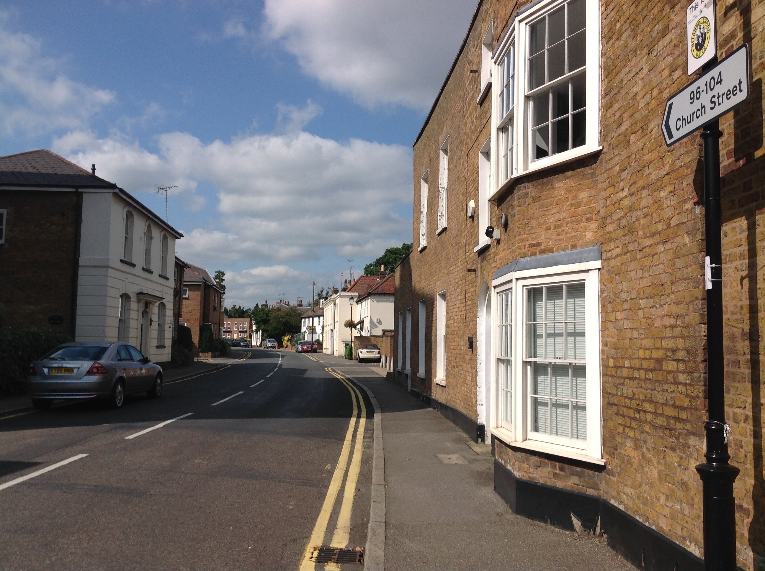 Church Street, Staines, 07/09/2015 |
 Class31 |
Tuesday 15th of September 2015 04:04:02 PM |


