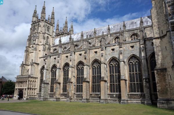
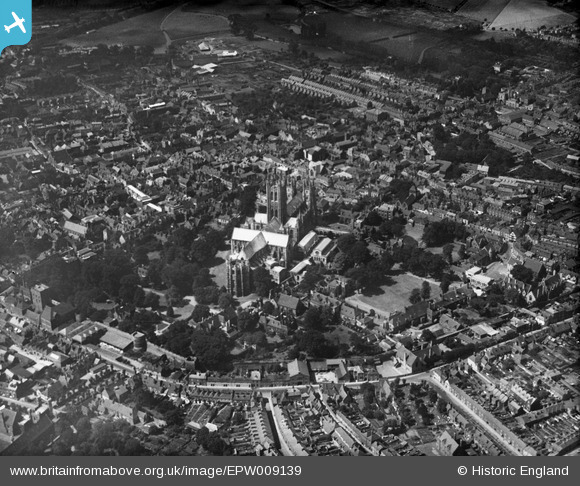
EPW009139 ENGLAND (1923). Christ Church Cathedral and environs, Canterbury, 1923
© Copyright OpenStreetMap contributors and licensed by the OpenStreetMap Foundation. 2024. Cartography is licensed as CC BY-SA.
Nearby Images (26)
EPW009139

EAW004809

EPW013272

EPW009141

EPW009147

EPW009146

EAW011399

EAW047755

EAW047756

EPW038149

EAW004808

EPW009140

EPW013271

EAW004807

EAW028821

EPW009144

EAW047757

EPW000393

EAW004806

EPW009143

EAW028822

EAW017600

EAW017599

EAW014334

EAW017598

EAW014335

Details
| Title | [EPW009139] Christ Church Cathedral and environs, Canterbury, 1923 |
| Reference | EPW009139 |
| Date | 1923 |
| Link | |
| Place name | CANTERBURY |
| Parish | |
| District | |
| Country | ENGLAND |
| Easting / Northing | 615129, 157936 |
| Longitude / Latitude | 1.085022297438, 51.27937216591 |
| National Grid Reference | TR151579 |
Pins
 Alan McFaden |
Thursday 10th of July 2014 01:16:21 PM | |
Alan McFaden |
Thursday 10th of July 2014 01:15:41 PM | |
Alan McFaden |
Thursday 10th of July 2014 01:14:46 PM | |
Alan McFaden |
Thursday 10th of July 2014 01:14:01 PM |