
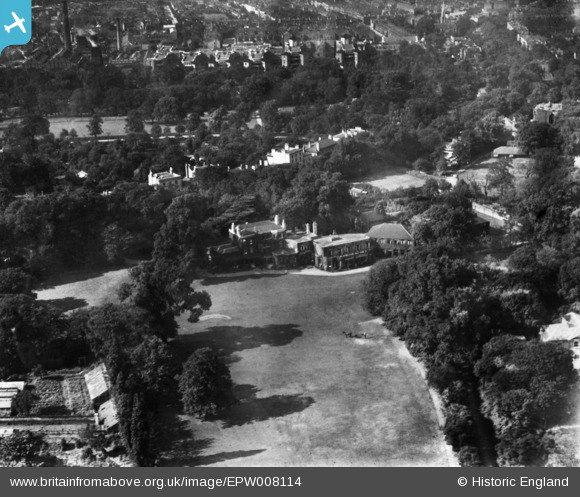
EPW008114 ENGLAND (1922). Ruskin Manor, Camberwell, 1922. This image has been produced from a print.
© Copyright OpenStreetMap contributors and licensed by the OpenStreetMap Foundation. 2024. Cartography is licensed as CC BY-SA.
Nearby Images (6)
EPW008114

EPW008051

EPW008068

EPW008069

EPW008067

EPW008053

Details
| Title | [EPW008114] Ruskin Manor, Camberwell, 1922. This image has been produced from a print. |
| Reference | EPW008114 |
| Date | 6-September-1922 |
| Link | |
| Place name | CAMBERWELL |
| Parish | |
| District | |
| Country | ENGLAND |
| Easting / Northing | 532785, 175515 |
| Longitude / Latitude | -0.088327385421053, 51.462523440145 |
| National Grid Reference | TQ328755 |
Pins
 brianbeckett |
Monday 15th of June 2020 05:41:41 PM | |
brianbeckett |
Monday 15th of June 2020 05:40:50 PM |


