
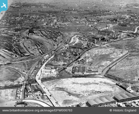
EPW006763 ENGLAND (1921). Carpenter's Road, Channel Sea Junction and environs, Stratford, 1921. This image has been produced from a copy-negative.
© Copyright OpenStreetMap contributors and licensed by the OpenStreetMap Foundation. 2024. Cartography is licensed as CC BY-SA.
Nearby Images (5)
EPW006763

EPW006767

EAW020392

EAW020395

EAW020391

Details
| Title | [EPW006763] Carpenter's Road, Channel Sea Junction and environs, Stratford, 1921. This image has been produced from a copy-negative. |
| Reference | EPW006763 |
| Date | June-1921 |
| Link | |
| Place name | STRATFORD |
| Parish | |
| District | |
| Country | ENGLAND |
| Easting / Northing | 537874, 184378 |
| Longitude / Latitude | -0.011644127041515, 51.540959101977 |
| National Grid Reference | TQ379844 |


