
EPW000405 ENGLAND (1920). Warwick Castle, Warwick, from the south-east, 1920

© Copyright OpenStreetMap contributors and licensed by the OpenStreetMap Foundation. 2024. Cartography is licensed as CC BY-SA.
Nearby Images (35)
EPW000405

EPW001207

EAW042932

EPW001208

EPW035696

EPW019740

EAW003654

EAW007537

EAW042931

EAW024697

EPW019739

EAW003266

EAW007538

EPW006602

EAW003267

EAW007539

EAW007534

EAW042930

EPW053230

EPW001204

EAW042933

EPW001203

EPW006600

EPW001192

EPR000080

EAW007535

EAW007532

EPW035697

EAW007536

EAW007531

EAW042935

EAW024698

EPR000079

EAW042929

EAW007533

Details
| Title | [EPW000405] Warwick Castle, Warwick, from the south-east, 1920 |
| Reference | EPW000405 |
| Date | April-1920 |
| Link | |
| Place name | WARWICK |
| Parish | WARWICK |
| District | |
| Country | ENGLAND |
| Easting / Northing | 428286, 264492 |
| Longitude / Latitude | -1.5853623827673, 52.277454387338 |
| National Grid Reference | SP283645 |
Pins
Be the first to add a comment to this image!
User Comment Contributions
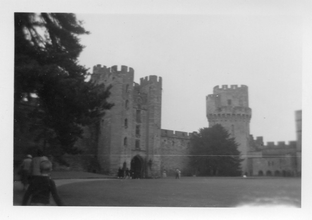 A family snapshot of Warwick Castle 1950's |
 Class31 |
Tuesday 9th of February 2016 10:42:07 AM |


