
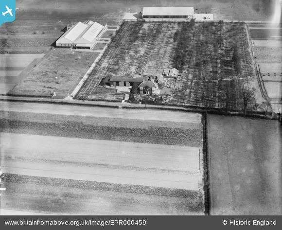
EPR000459 ENGLAND (1935). The Gardens on Southall Lane, Heston, 1935
© Copyright OpenStreetMap contributors and licensed by the OpenStreetMap Foundation. 2024. Cartography is licensed as CC BY-SA.
Nearby Images (20)
EPR000459

EAW039272

EAW039270

EAW039265

EAW039269

EAW039267

EAW039273

EAW039264

EAW039268

EPW043686

EPW037337

EPW044694

EPW044866
 after crash near Heston Aerodrome, Heston, 1934")
EAW039266

EPW043681

EPW043682

EPW043683

EPW043685

EAW039271

EPW043684

Details
| Title | [EPR000459] The Gardens on Southall Lane, Heston, 1935 |
| Reference | EPR000459 |
| Date | 21-March-1935 |
| Link | |
| Place name | HESTON |
| Parish | |
| District | |
| Country | ENGLAND |
| Easting / Northing | 510959, 178129 |
| Longitude / Latitude | -0.40158528790381, 51.490721753701 |
| National Grid Reference | TQ110781 |
Pins
Be the first to add a comment to this image!


