
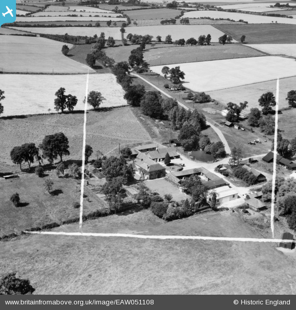
EAW051108 ENGLAND (1953). Garland's Farm, Steeple Bumpstead, 1953. This image was marked by Aerofilms Ltd for photo editing.
© Copyright OpenStreetMap contributors and licensed by the OpenStreetMap Foundation. 2024. Cartography is licensed as CC BY-SA.
Nearby Images (6)
EAW051108

EAW051106

EAW051105

EAW051104

EAW051107

EAW051101

Details
| Title | [EAW051108] Garland's Farm, Steeple Bumpstead, 1953. This image was marked by Aerofilms Ltd for photo editing. |
| Reference | EAW051108 |
| Date | 10-August-1953 |
| Link | |
| Place name | STEEPLE BUMPSTEAD |
| Parish | STEEPLE BUMPSTEAD |
| District | |
| Country | ENGLAND |
| Easting / Northing | 568042, 242066 |
| Longitude / Latitude | 0.45099388566168, 52.051047991686 |
| National Grid Reference | TL680421 |
Pins
Be the first to add a comment to this image!


