
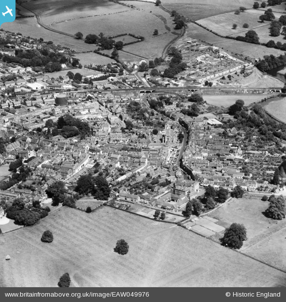
EAW049976 ENGLAND (1953). The town, Blandford Forum, 1953
© Copyright OpenStreetMap contributors and licensed by the OpenStreetMap Foundation. 2024. Cartography is licensed as CC BY-SA.
Nearby Images (9)
EAW049976

EPW032340

EAW049975

EPW032337

EPW032335

EPW032339

EAW049974

EPW032338

EPW032336

Details
| Title | [EAW049976] The town, Blandford Forum, 1953 |
| Reference | EAW049976 |
| Date | 18-June-1953 |
| Link | |
| Place name | BLANDFORD FORUM |
| Parish | BLANDFORD FORUM |
| District | |
| Country | ENGLAND |
| Easting / Northing | 388528, 106348 |
| Longitude / Latitude | -2.1630012018974, 50.85597359206 |
| National Grid Reference | ST885063 |


