
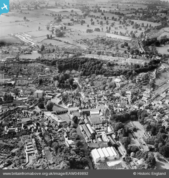
EAW049892 ENGLAND (1953). The town centre, Bradford-On-Avon, 1953
© Copyright OpenStreetMap contributors and licensed by the OpenStreetMap Foundation. 2024. Cartography is licensed as CC BY-SA.
Nearby Images (6)
EAW049892

EPW033186

EPW033184

EPW048383

EPW033189

EPW033188

Details
| Title | [EAW049892] The town centre, Bradford-On-Avon, 1953 |
| Reference | EAW049892 |
| Date | 12-June-1953 |
| Link | |
| Place name | BRADFORD-ON-AVON |
| Parish | BRADFORD-ON-AVON |
| District | |
| Country | ENGLAND |
| Easting / Northing | 382569, 161080 |
| Longitude / Latitude | -2.2503137230147, 51.348031413895 |
| National Grid Reference | ST826611 |
Pins
Be the first to add a comment to this image!


