
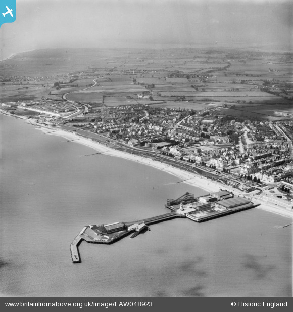
EAW048923 ENGLAND (1953). The pier and the town, Clacton-on-Sea, from the east, 1953
© Copyright OpenStreetMap contributors and licensed by the OpenStreetMap Foundation. 2024. Cartography is licensed as CC BY-SA.
Nearby Images (48)
EAW048923

EPW041336

EPW041334

EPW039120

EPW039134

EPW039128

EAW030582

EPW039124

EPW041333

EPW049296

EPW039130

EPW039125

EPW041335

EPW042615

EPW018532

EPW001992

EPW042614

EAW030577

EAW030579

EAW030580

EPW039121

EPW039126

EPW041338

EPW058705

EPW058704

EPW039142

EPW039141

EAW030581

EPW039146

EPW041341

EPW039140

EPW041340

EPW039143

EPW041339

EPW039129

EPW039154

EPW039148

EPW039152

EPW039151

EPW039150

EPW058728

EAW048925

EPW011623

EAW038331

EAW038332

EPW046896

EPW058724

EPW011619

Details
| Title | [EAW048923] The pier and the town, Clacton-on-Sea, from the east, 1953 |
| Reference | EAW048923 |
| Date | 2-May-1953 |
| Link | |
| Place name | CLACTON-ON-SEA |
| Parish | |
| District | |
| Country | ENGLAND |
| Easting / Northing | 617793, 214305 |
| Longitude / Latitude | 1.1580263139928, 51.784493912763 |
| National Grid Reference | TM178143 |
Pins
Be the first to add a comment to this image!


