
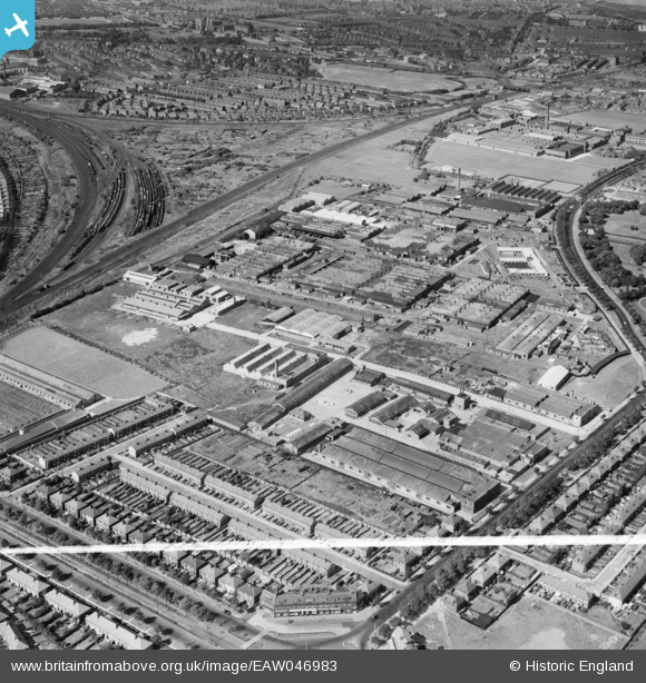
EAW046983 ENGLAND (1952). The Liver Industrial Estate, Liverpool, 1952. This image was marked by Aerofilms Ltd for photo editing.
© Copyright OpenStreetMap contributors and licensed by the OpenStreetMap Foundation. 2024. Cartography is licensed as CC BY-SA.
Nearby Images (14)
EAW046983

EAW005646

EAW046977

EAW046980

EAW004628

EAW004629

EAW046985

EAW046979

EAW005649

EAW046984

EAW005647

EAW046976

EAW046978

EAW046981

Details
| Title | [EAW046983] The Liver Industrial Estate, Liverpool, 1952. This image was marked by Aerofilms Ltd for photo editing. |
| Reference | EAW046983 |
| Date | 7-September-1952 |
| Link | |
| Place name | LIVERPOOL |
| Parish | |
| District | |
| Country | ENGLAND |
| Easting / Northing | 337543, 395442 |
| Longitude / Latitude | -2.9406104982156, 53.451775299371 |
| National Grid Reference | SJ375954 |
Pins
 redmist |
Friday 29th of March 2019 05:41:39 PM |


