
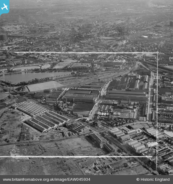
EAW045934 ENGLAND (1952). The General Electric Co Ltd Witton Works and environs, Witton, from the north, 1952. This image was marked by Aerofilms Ltd for photo editing.
© Copyright OpenStreetMap contributors and licensed by the OpenStreetMap Foundation. 2024. Cartography is licensed as CC BY-SA.
Nearby Images (15)
EAW045934

EPW028856

EPW028861

EPW028862

EPW028857

EPW028859

EPW009731

EPW028860

EPW005708

EPW028858

EPW005709

EAW045935

EPW001093

EPW031382

EPW031384

Details
| Title | [EAW045934] The General Electric Co Ltd Witton Works and environs, Witton, from the north, 1952. This image was marked by Aerofilms Ltd for photo editing. |
| Reference | EAW045934 |
| Date | 14-August-1952 |
| Link | |
| Place name | WITTON |
| Parish | |
| District | |
| Country | ENGLAND |
| Easting / Northing | 408845, 290645 |
| Longitude / Latitude | -1.8696506434005, 52.513255704537 |
| National Grid Reference | SP088906 |
Pins
Be the first to add a comment to this image!


