
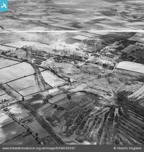
EAW045597 ENGLAND (1952). The Stewartby Brick Works and environs, Stewartby, 1952. This image was marked by Aerofilms Ltd for photo editing.
© Copyright OpenStreetMap contributors and licensed by the OpenStreetMap Foundation. 2024. Cartography is licensed as CC BY-SA.
Nearby Images (25)
EAW045597

EAW011282

EPW033902

EAW045598

EPW026691

EPW026680

EPW026699

EPW026688

EPW026692

EPW026684

EPW026690

EPW033896

EPW049679

EAW045595

EPW026682

EPW054977

EPW033904

EPW033901

EPW026687

EAW011279

EPW026686

EAW011273

EPW033893

EPW026696

EPW054974

Details
| Title | [EAW045597] The Stewartby Brick Works and environs, Stewartby, 1952. This image was marked by Aerofilms Ltd for photo editing. |
| Reference | EAW045597 |
| Date | 31-July-1952 |
| Link | |
| Place name | STEWARTBY |
| Parish | STEWARTBY |
| District | |
| Country | ENGLAND |
| Easting / Northing | 501325, 242514 |
| Longitude / Latitude | -0.52151502689141, 52.071294963151 |
| National Grid Reference | TL013425 |
Pins
Be the first to add a comment to this image!


