
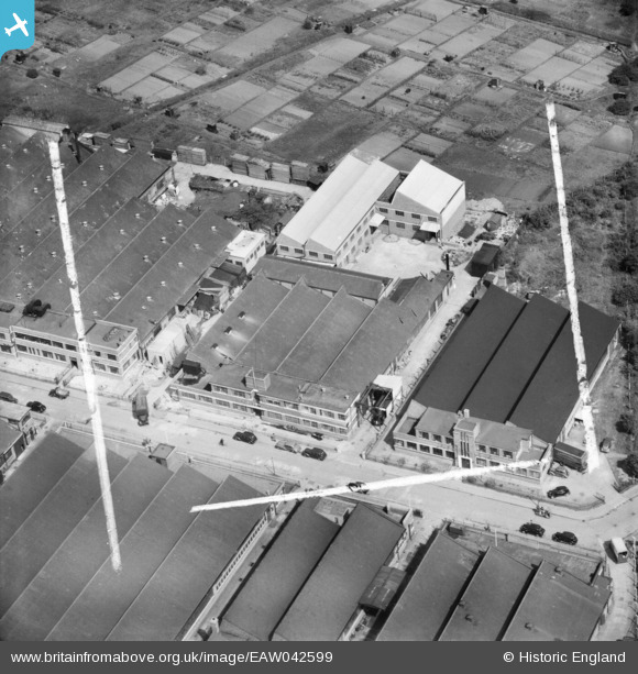
EAW042599 ENGLAND (1952). M. Saper Ltd Confectionery Works on Argall Avenue, Leyton, 1952. This image was marked by Aerofilms Ltd for photo editing.
© Copyright OpenStreetMap contributors and licensed by the OpenStreetMap Foundation. 2024. Cartography is licensed as CC BY-SA.
Nearby Images (24)
EAW042599

EAW042592

EAW042595

EAW042598

EAW042593

EAW042597

EAW042596

EAW042594

EAW042600

EAW042264

EAW042263

EAW042265

EAW042266

EAW042260

EAW042261

EAW042262

EAW025319

EAW025321

EAW025318

EAW025317

EAW025315

EAW025320

EAW025322

EAW025316

Details
| Title | [EAW042599] M. Saper Ltd Confectionery Works on Argall Avenue, Leyton, 1952. This image was marked by Aerofilms Ltd for photo editing. |
| Reference | EAW042599 |
| Date | 22-April-1952 |
| Link | |
| Place name | LEYTON |
| Parish | |
| District | |
| Country | ENGLAND |
| Easting / Northing | 535863, 187523 |
| Longitude / Latitude | -0.039412189908024, 51.56971144939 |
| National Grid Reference | TQ359875 |
Pins
Be the first to add a comment to this image!


