
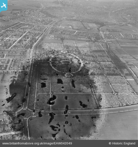
EAW042049 ENGLAND (1952). Manchester Southern Cemetery, Barlow Moor, 1952. This image has been produced from a damaged negative.
© Copyright OpenStreetMap contributors and licensed by the OpenStreetMap Foundation. 2024. Cartography is licensed as CC BY-SA.
Nearby Images (2)
EAW042049

EAW042048

Details
| Title | [EAW042049] Manchester Southern Cemetery, Barlow Moor, 1952. This image has been produced from a damaged negative. |
| Reference | EAW042049 |
| Date | 22-March-1952 |
| Link | |
| Place name | BARLOW MOOR |
| Parish | |
| District | |
| Country | ENGLAND |
| Easting / Northing | 382927, 392414 |
| Longitude / Latitude | -2.2569748848432, 53.427981071583 |
| National Grid Reference | SJ829924 |
Pins
Be the first to add a comment to this image!


